Diamond Head Lighthouse (Honolulu, Hawaii)
USA /
Hawaii /
Honolulu /
Honolulu, Hawaii
World
/ USA
/ Hawaii
/ Honolulu
World / United States / Hawaii
lighthouse
Add category

www.lighthousefriends.com/light.asp?ID=140
maps.live.com/default.aspx?v=2&cp=21.255806~-157.809648...
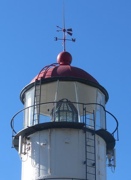
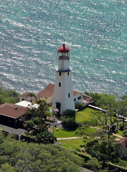
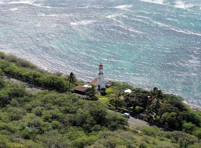
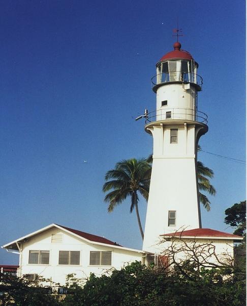
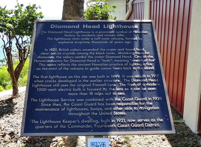
Diamond Head Light (21°15'21"N., 157°48'34"W.), 147 feet above the water, is shown from a 64-foot white concrete tower near the beach. A lighted buoy is moored in 150 feet of water 0.6 mile off the light. Currents setting in various directions with velocities up to 1 knot were noted about 3 miles SW of Diamond Head. [www.nauticalcharts.noaa.gov/nsd/coastpilot_w.php?book=7] Chapter 14
maps.live.com/default.aspx?v=2&cp=21.255806~-157.809648...
Diamond Head Light (21°15'21"N., 157°48'34"W.), 147 feet above the water, is shown from a 64-foot white concrete tower near the beach. A lighted buoy is moored in 150 feet of water 0.6 mile off the light. Currents setting in various directions with velocities up to 1 knot were noted about 3 miles SW of Diamond Head. [www.nauticalcharts.noaa.gov/nsd/coastpilot_w.php?book=7] Chapter 14
Wikipedia article: http://en.wikipedia.org/wiki/Diamond_Head_Lighthouse
Nearby cities:
Coordinates: 21°15'20"N 157°48'35"W
- USCG La’au Point 55 km
- USCG Molokai Light 87 km
- Santa Cruz (Gull Island) Aid to Navigation 3977 km
- Heceta Head Lighthouse, Devils Elbow State Park 4008 km
- Smoky Point Lighthouse 4048 km
- Lantern Point 4179 km
- Merry Island 4330 km
- Beacon Hill 4963 km
- Playa de la Isla de la Piedra 5273 km
- Lake Minatare State Recreation Area and Historic Lake Minatare Lighthouse 5531 km
- Diamond Head Beach Park 0.4 km
- Diamond Head State Monument 0.8 km
- Diamond Head (Leahi) 0.8 km
- Waikīkī-Diamond Head Shoreline Fisheries Management Area 0.9 km
- Kapi'olani Park 1.5 km
- Diamond Head Beach Park 1.9 km
- Waikīkī Marine Life Conservation District 2.1 km
- Waikiki 2.9 km
- Kaimuki 3.2 km
- Māmala Bay 16 km