Inner Farne Lighthouse
United Kingdom /
England /
North Sunderland /
World
/ United Kingdom
/ England
/ North Sunderland
World / United Kingdom / England
lighthouse
Add category
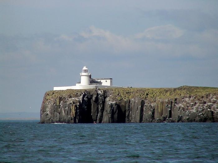
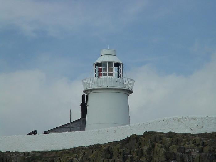
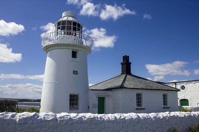

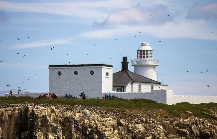
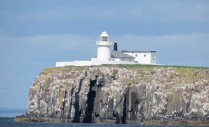
The tower is 13 m (43 ft) tall with a range for the white light of 10 nautical miles (19 km; 12 mi) and the Red 7 nmi (13 km; 8.1 mi).
www.trinityhouse.co.uk/lighthouses/lighthouse_list/farn...
www.trinityhouse.co.uk/lighthouses/lighthouse_list/farn...
Wikipedia article: http://en.wikipedia.org/wiki/Farne_Lighthouse
Nearby cities:
Coordinates: 55°36'55"N 1°39'20"W
- Souter Point Lighthouse 74 km
- Lees Scar Lighthouse 140 km
- Whitby Lower Harbour 141 km
- Wyre lighthouse 205 km
- Pladda Lighthouse 219 km
- Mull of Galloway Lighthouse 231 km
- Sanda Island Lighthouse nicknamed "the Ship" 251 km
- Liverpool bay Lightvessel Bar 256 km
- Bidston Observatories and Lighthouse 263 km
- Old lighthouses of Kaf-of-Maine 268 km
- Inner Farne (National Trust) 0.1 km
- The Knivestone Wrecks 1.8 km
- Brownsman (High Tide line) 2.9 km
- The Christensen (Wreck) 4.3 km
- Bamburgh castle golf club 5.1 km
- Glororum Caravan Park 5.7 km
- Brada Quarry 6 km
- Budle Hall 6.2 km
- Waren Caravan & Camping Park 6.5 km
- Budle Bay 6.7 km