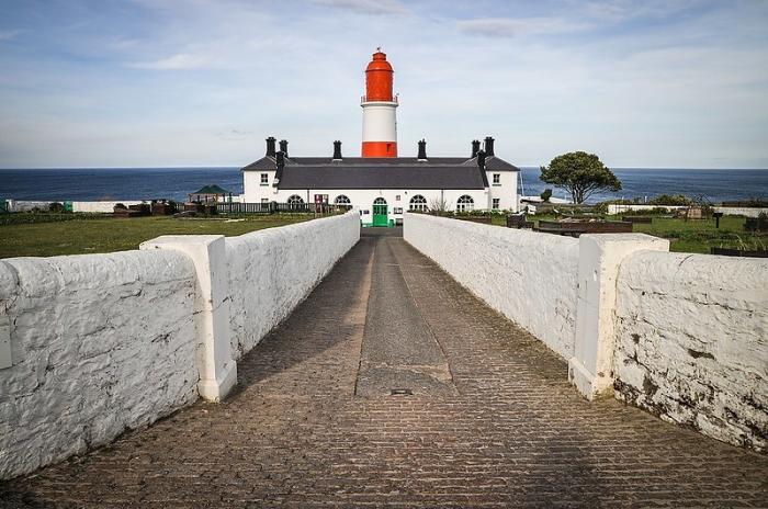
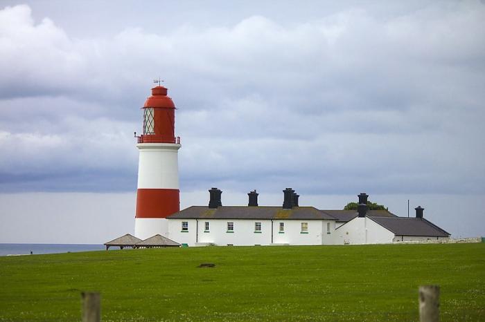
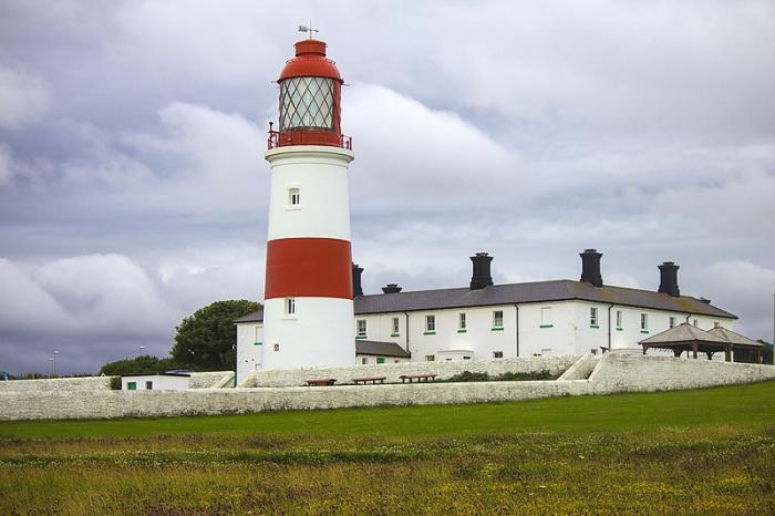
Souter Point Lighthouse
United Kingdom /
England /
Whitburn /
A183 Coast Road
World
/ United Kingdom
/ England
/ Whitburn
World / United Kingdom / England
lighthouse, foghorn, National Trust property (UK), radio beacon

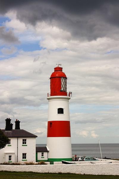
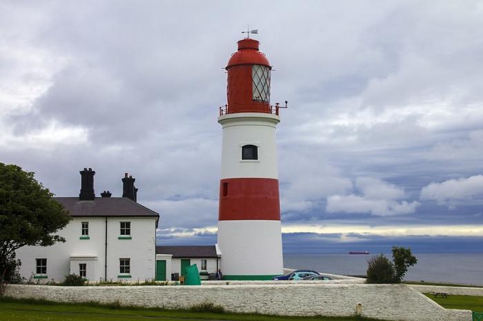
First alternating current lighthouse
Owner: The National Trust
Decommissioned: 1988 (Light and Fog Horn); 1999 (Radio Navigation Beacon)
www.nationaltrust.org.uk/main/w-vh/w-visits/w-findaplac...
maps.live.com/default.aspx?v=2&cp=54.970603~-1.3641...
Owner: The National Trust
Decommissioned: 1988 (Light and Fog Horn); 1999 (Radio Navigation Beacon)
www.nationaltrust.org.uk/main/w-vh/w-visits/w-findaplac...
maps.live.com/default.aspx?v=2&cp=54.970603~-1.3641...
Wikipedia article: http://en.wikipedia.org/wiki/Souter_Lighthouse
Nearby cities:
Coordinates: 54°58'13"N 1°21'51"W
- Whitby Lower Harbour 72 km
- Whitby Lighthouse 75 km
- Lees Scar Lighthouse 132 km
- Wyre lighthouse 156 km
- Liverpool bay Lightvessel Bar 206 km
- Bidston Observatories and Lighthouse 207 km
- Mull of Galloway Lighthouse 227 km
- Pladda Lighthouse 244 km
- Old lighthouses of Kaf-of-Maine 246 km
- Sanda Island Lighthouse nicknamed "the Ship" 271 km
- Marsden Quarry 0.4 km
- Whitburn Village 1.6 km
- Whitburn Camp/Firing Range 1.7 km
- The Nook 2.4 km
- Sunderland AFC training ground and academy 3.4 km
- South Tyneside 5.1 km
- Ryhope Village 12 km
- Sharpley Golf Course 14 km
- Easington Colliery 20 km
- North West Industrial Estate 22 km
Comments