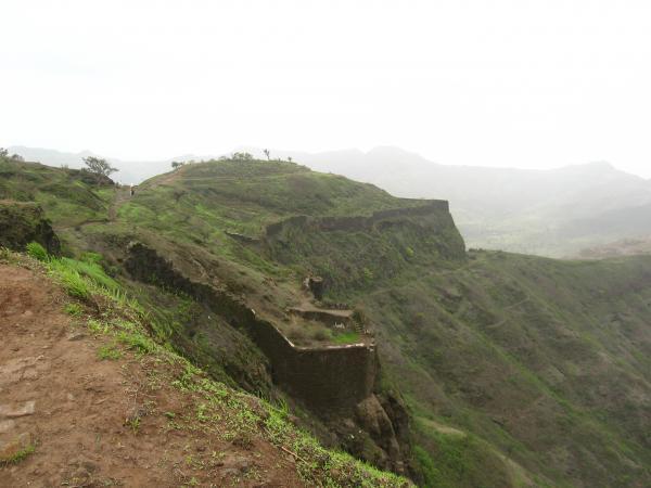
Tanaji Kada
India /
Maharashtra /
Kharakvasla /
World
/ India
/ Maharashtra
/ Kharakvasla
World / India / Maharashtra / Pune
Nearby cities:
Coordinates: 18°21'55"N 73°45'11"E
- Doordarshan Relay Complex. 0.6 km
- Koliwadi 1 km
- Mordari 1.2 km
- DEEPTI FARM HOUSE() 2.4 km
- aatekar wadi, pune 3.1 km
- LELE FARM HOUSE 3.5 km
- FARM 3.6 km
- Ghatge Farm and Botanical Garden 3.7 km
- APLA GHAR 4 km
- Site 4.1 km
- Sinhagad 0.3 km
- Birding Spot, Sinhagad Valley. 2.2 km
- Sinhgad Valley 2.3 km
- ASHISH FARMS 2.9 km
- jagtap farm 5.8 km
- Vanikaran Zone 5.9 km
- Khadakvasla Lake 6.2 km
- WEM 7 km
- ACEPL 7.7 km
- Velhe Taluka 17 km
Comments