Via Sacra (Rome)
Italy /
Lazio /
Rome
World
/ Italy
/ Lazio
/ Rome
World / Italy / Lazio / Roma
road, Roman Empire, interesting place, historic landmark
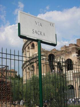
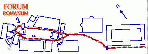
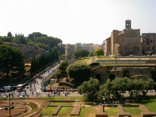
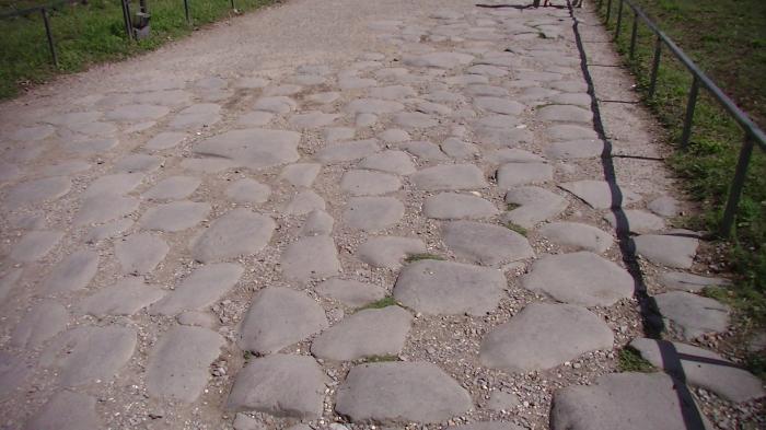
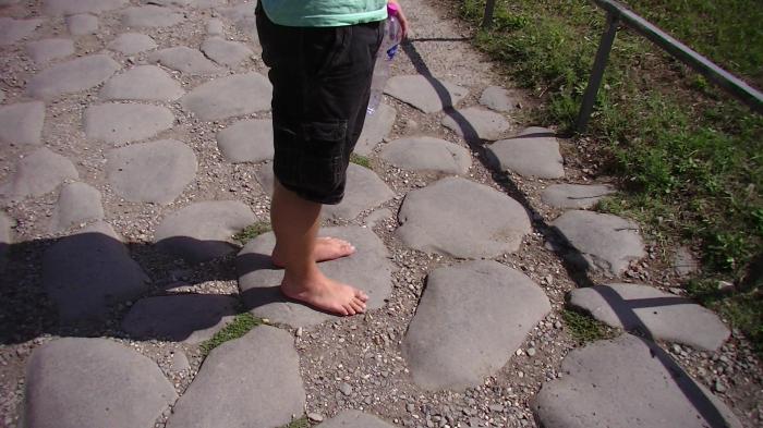
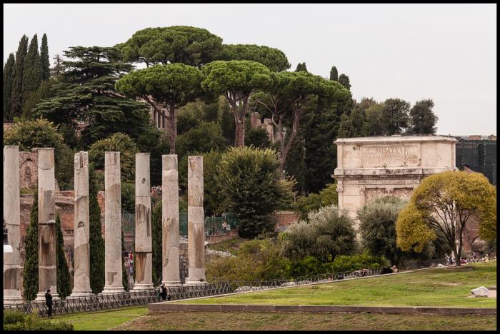
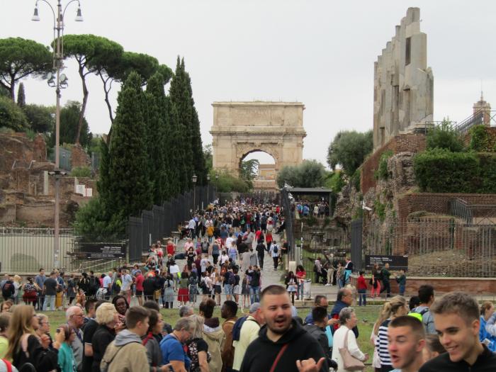
The Via Sacra (Latin: Sacred Road) is the main street of ancient Rome, leading from the top of the Capitoline Hill, through some of the most important religious sites of the Forum (where it is the widest street), to the Colosseum.
This road was continually filled with solemn religious festivals, magnificent triumphs of victorious generals, and the daily throng assembling in the basilicas to chat, throw dice, engage in business, or secure justice.
This road was continually filled with solemn religious festivals, magnificent triumphs of victorious generals, and the daily throng assembling in the basilicas to chat, throw dice, engage in business, or secure justice.
Wikipedia article: http://en.wikipedia.org/wiki/Via_Sacra
Nearby cities:
Coordinates: 41°53'29"N 12°29'15"E
- Palatine Hill 0.3 km
- Circus Maximus 0.6 km
- Roman Forum 0.6 km
- Via del Babuino 2.3 km
- Appian Way 3.1 km
- queue for the Vatican museum 3.4 km
- Vatican City 3.9 km
- EUR - Esposizione Universale Roma 6.3 km
- Ancient Ostia (Ostia Antica) 23 km
- Zoomarine water park 29 km
- Campitelli 0.3 km
- Capitoline Hill 0.5 km
- Monti 0.8 km
- Sant'Angelo 0.8 km
- The Jewish Ghetto 0.8 km
- Caelian Hill 0.8 km
- Ripa 0.9 km
- Aventine Hill 1.1 km
- Celio 1.3 km
- Rome historical centre 1.4 km