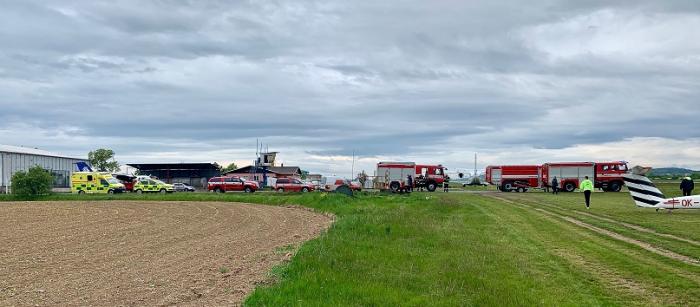
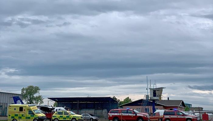
Pribram Airport
Czech Republic /
Stredocesky /
Kotencice /
World
/ Czech Republic
/ Stredocesky
/ Kotencice
World / Czech Republic / Středočeský
airport
Add category


Nearby cities:
Coordinates: 49°43'12"N 14°6'1"E
- Václav Havel Airport Prague (IATA: PRG, ICAO: LKPR) 45 km
- Air Base Bechyně 54 km
- 21st Air Force Base Caslav - Chotusice 94 km
- 22nd Tactical Forces Air Base Namest n. Oslavou 157 km
- Preschen (Jocksdorf) Airfield (Closed) JG 3 NVA 220 km
- Leipzig / Halle Airport 234 km
- Holzdorf Air Base 240 km
- Zielona Góra Airport 296 km
- Berlin Brandenburg Airport (BER/EDDB) "Willy Brandt" Airport 301 km
- Mahlwinkel Military Airfield 338 km
- Former Uranium Mine and Dump 2.6 km
- Former Uranium Mine 4.6 km
- Decanting Plant of surrounding Mines 4.7 km
- Pond of Sychrov 4.9 km
- Army ammunition depots 7.2 km
- former 4.plro CSLA (air defence missile launchers batalion) Stará Hut u Dobrise 11 km
- Eastern Brdy 11 km
- Slapy Reservoir 17 km
- Drbakov yew-trees and Albert´s Rocks 19 km
- Physical therapy Institute Slapy 24 km
Former Uranium Mine and Dump
Former Uranium Mine
Decanting Plant of surrounding Mines
Pond of Sychrov
Army ammunition depots
former 4.plro CSLA (air defence missile launchers batalion) Stará Hut u Dobrise
Eastern Brdy
Slapy Reservoir
Drbakov yew-trees and Albert´s Rocks
Physical therapy Institute Slapy