Half Dome
USA /
California /
Oakhurst /
World
/ USA
/ California
/ Oakhurst
World / United States / California
mountain, summit, nature conservation park / area, natural monument

Elevation 8836 ft (2,693 meters)
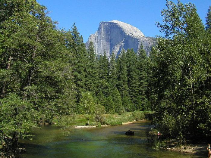
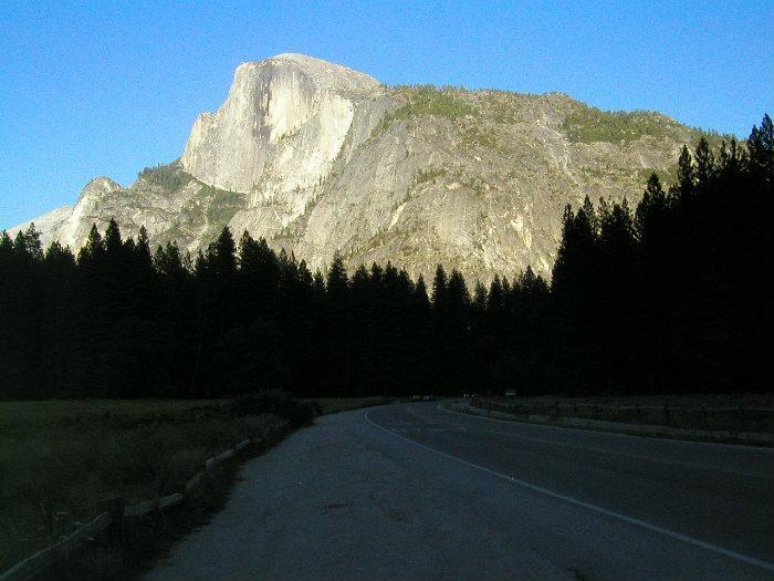
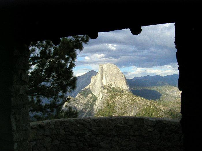
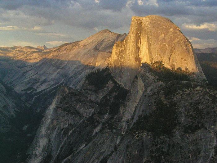
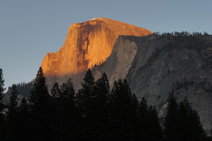
Yosemite National Park.
Half Dome is perhaps Yosemite's most iconic image. Located almost 5,000 feet above the valley floor, it is a granite monolith in the shape from which it derives it name. One of the most popular hikes in Yosemite is to the summit.
The yellow outline traces the 8,000 foot elevation contour, but note that the true contour interval for the northwest face is hidden from this view, behind and below the edge of the cliff.
www.yosemitehikes.com/yosemite-valley/half-dome/half-do...
peakbagger.com/peak.aspx?pid=2611
www.topoquest.com/map.php?lat=37.74609&lon=-119.53231&d...
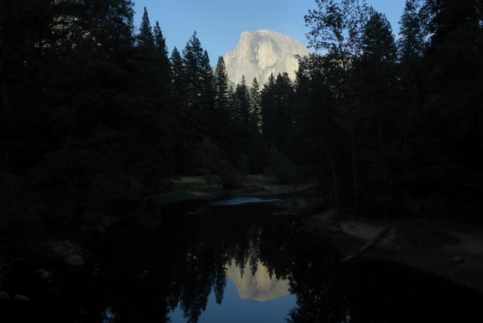
Wikipedia article: http://en.wikipedia.org/wiki/Half_Dome
Nearby cities:
Coordinates: 37°44'40"N 119°31'56"W
- Sentinel Rock 5.9 km
- El Capitan 10 km
- Stubblefield Canyon 36 km
- Leavitt Peak 61 km
- Tuolumne Table Mountain 85 km
- Bull Run Peak 88 km
- Henry Peak 89 km
- Silver Peak 94 km
- Fort Mountain 107 km
- Melissa Coray Peak (9767ft) 111 km
- 4-Mile Trail 5.1 km
- Eagle Peak Meadows 7.2 km
- Yosemite National Park 11 km
- Grant Lakes 16 km
- Ten Lakes 18 km
- Crane Flat Campground 24 km
- Hetch Hetchy Reservoir 28 km
- Camp Mather 32 km
- Laurel Lake 37 km
- Lake Eleanor 39 km
Comments