Caja de Muertos
Puerto Rico /
Guayama /
Santa Isabel /
World
/ Puerto Rico
/ Guayama
/ Santa Isabel
World / Puerto Rico
island
Add category
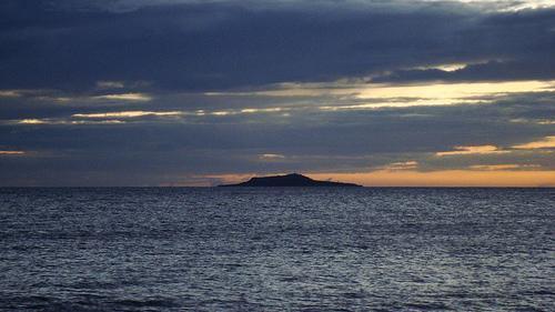


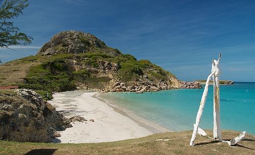
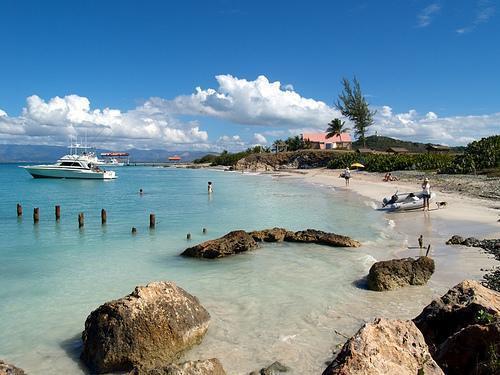
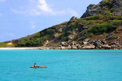

Caja De Muertos (Coffin Island) is named for its coffin-like shape when driving south from Toll Road 52 or on Highway 2. A very peaceful and pristine beach and a great view at its highest point where the lighthouse is located.
Wikipedia article: http://en.wikipedia.org/wiki/Caja_de_Muertos,_Puerto_Rico
Nearby cities:
Coordinates: 17°53'34"N 66°31'10"W
- Vieques 104 km
- St. Thomas, USVI 166 km
- St. Croix, USVI 172 km
- Tortola 201 km
- Virgin Gorda 230 km
- Saint Martin 357 km
- Anguilla 357 km
- Saint Kitts 391 km
- Nevis 419 km
- Montserrat (British Overseas Territory) 470 km
- Juana Díaz Maritime Zone 4.3 km
- Ponce Maritime Zone 9 km
- Playita Cortada 13 km
- Santa Isabel Maritime Zone 14 km
- Descalabrado 17 km
- Pueblo 17 km
- Tallaboa Bay 24 km
- Peñuelas Maritime Zone 24 km
- CORCO 26 km
- Guayanilla Maritime Zone 31 km
Comments