Ruskington
United Kingdom /
England /
Ruskington /
World
/ United Kingdom
/ England
/ Ruskington
World / United Kingdom / England
village, civil parish
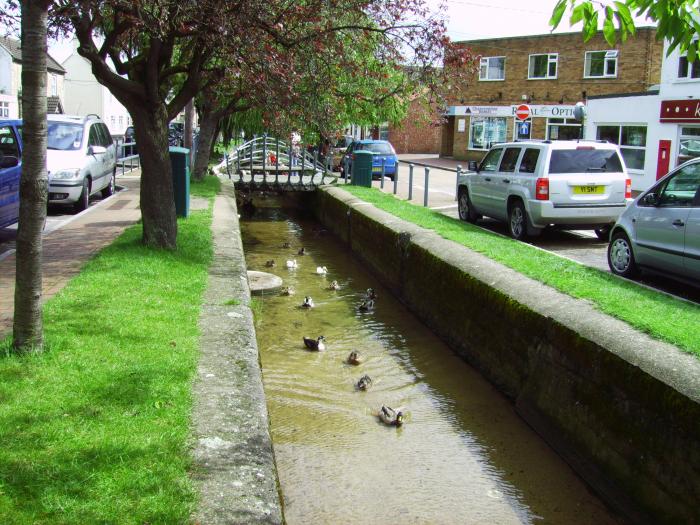
Ruskington is a large village and civil parish in the North Kesteven district of Lincolnshire, England, located on the north-south B1188 road and slightly north of the A153 road.
parishes.lincolnshire.gov.uk/Ruskington/
www.genuki.org.uk/big/eng/LIN/Ruskington/
Sources:
Photo: the photo is licensed under the Creative Commons Attribution-Share Alike 3.0 Unported license. The photo`s author: Author: commons.wikimedia.org/w/index.php?title=User:Neilgreato...
parishes.lincolnshire.gov.uk/Ruskington/
www.genuki.org.uk/big/eng/LIN/Ruskington/
Sources:
Photo: the photo is licensed under the Creative Commons Attribution-Share Alike 3.0 Unported license. The photo`s author: Author: commons.wikimedia.org/w/index.php?title=User:Neilgreato...
Wikipedia article: http://en.wikipedia.org/wiki/Ruskington
Nearby cities:
Coordinates: 53°2'39"N -0°23'26"E
- Temple Bruer 10 km
- Welbourn 13 km
- Leadenham 14 km
- Tattershall 15 km
- Swineshead 17 km
- Waddington 20 km
- Kirton 24 km
- Sudbrooke 27 km
- Skellingthorpe 28 km
- Saxilby 32 km
- Sleaford Rugby Football Club 3.4 km
- Car Dike Roman Canal Northern Section 4.7 km
- RAF Cranwell North 6.8 km
- Kirkby Green 7 km
- RAF Digby 7.1 km
- Runways 7.1 km
- RAF Cranwell 7.2 km
- RAF Cranwell Base Housing 7.3 km
- No.3 Flight Training School 8 km
- Ermine Solar Field 8.3 km