Kamola
India /
Uttaranchal /
Kaladungi /
World
/ India
/ Uttaranchal
/ Kaladungi
World / India / Uttaranchal / Naini Tal
village
Add category
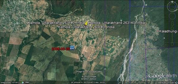
A large and very beautiful village situated just in the foot hills of lower Himalayan rang, very fertile land, surrounded by green forests, good climate,plenty of water,produces all crops like wheat, paddy,soyabeen,maiz,musterd,sugarcane etc.mangoes, lichies, papays, gauva etc. At distance of 35 kms to the south of Nainital, hot in summers, winters are cold and pleasant.Very good roads connecting Haldwani, Ramnagar,Jim Corbett National Park,Haridwar, famous hill station of Nainital, Bazpur-Moradabad-Delhi. Kamola village is also known for Army - Kumaon Regimental agricultural farm named 'Thimaya Bagh'.
Nearby cities:
Coordinates: 29°17'16"N 79°17'43"E
- haripura 11 km
- Dalpuraa 18 km
- Bazpur 20 km
- Jogipura 20 km
- Pirumadara 24 km
- Sultanpur patti 28 km
- Asafabad 31 km
- Narpat Nagar 34 km
- Dashmesh Nagar 35 km
- Sharifnagar 52 km
- jim corbett musium 4.2 km
- neeraj jalal 6.2 km
- CHAKALUWA NAINITAL 7.7 km
- Chadha Seed Farm 8.5 km
- CTR FOREST ZONE 13 km
- lamachaur 15 km
- Jogura 15 km
- institute of Biotech, Patwadangar, GBPant University 16 km
- khempur 2 17 km
- Raj Bhavan Golf course Nainital 18 km
Comments