Park Way
Brazil /
Distrito Federal /
Brasilia /
World
/ Brazil
/ Distrito Federal
/ Brasilia
World / Brazil / Distrito Federal / Brasília
city, draw only border
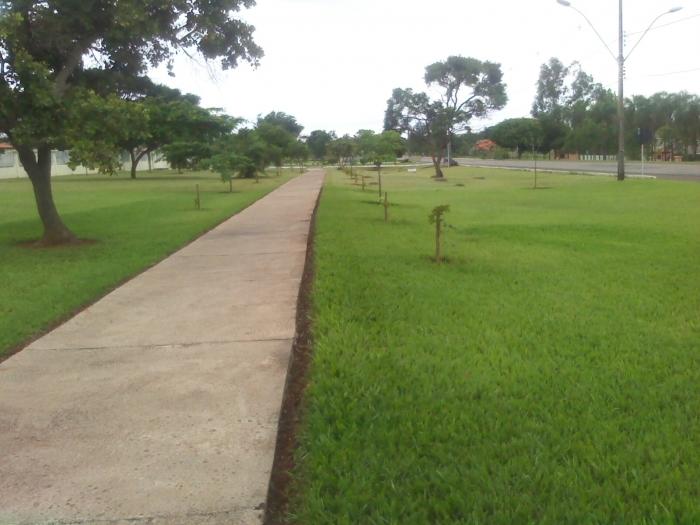
Park Way is an administrative region of the Federal District, Brazil. Which arose from the division of administrative region of Núcleo Bandeirante. It is divided into blocks ranging from No. 01 to 29. The highest court is to No 26. It has a privileged location, close to major shopping centers in Brasília, and the airport.
It houses several ecological reserves, including the UNB, Air Force, Navy and IBGE. One of the main points of access is the BR-040. A railway line linking the Federal District of Goiás, Minas Gerais and São Paulo through the Park Way.
Composed mainly of horizontal closed condominiums and large mansions, as the acronym says SMPW - Division of Park Mansions Way, does not have a shopping area itself, the nearest to the Núcleo Bandeirante.
Nearby cities:
Coordinates: 15°54'3"S 47°57'15"W
- Luziânia 53 km
- Unaí 54 km
- Federal District 57 km
- Corumbá de Goiás 104 km
- Cocalzinho de Goiás 114 km
- Mimoso de Goiás 140 km
- Pirenópolis 142 km
- Vila Boa 157 km
- Goianésia 182 km
- Itapuranga 245 km
- Former Official Residence of the US Ambassador 0.7 km
- Niemeyer's House 2 km
- Vila Metropolitana 3.1 km
- Sapão College 3.6 km
- Condominium Aline 3.7 km