Punta de Teno
Spain /
Santa Cruz de Tenerife /
Buenavista del Norte /
Carretera Punta de Teno
World
/ Spain
/ Santa Cruz de Tenerife
/ Buenavista del Norte
World / Spain / Islas Canarias / Las Palmas / n.a. (144)
cape (geography), headland (geography), interesting place
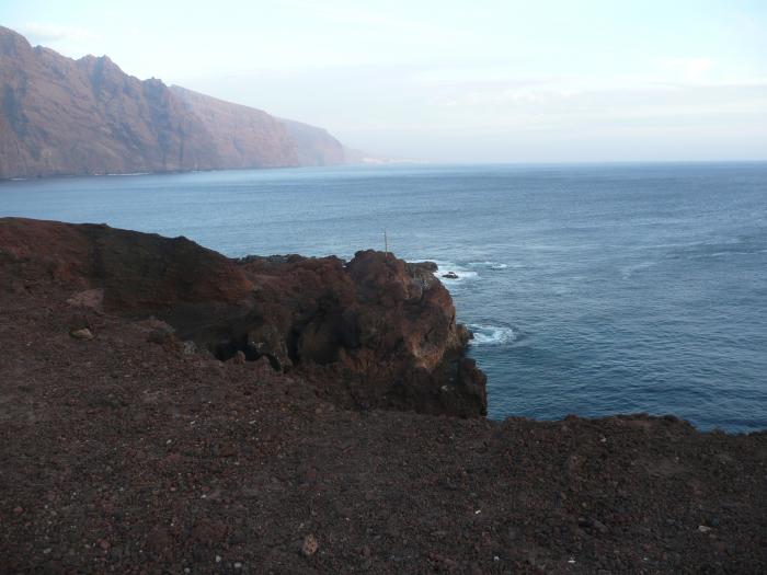

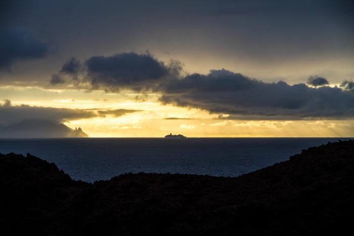
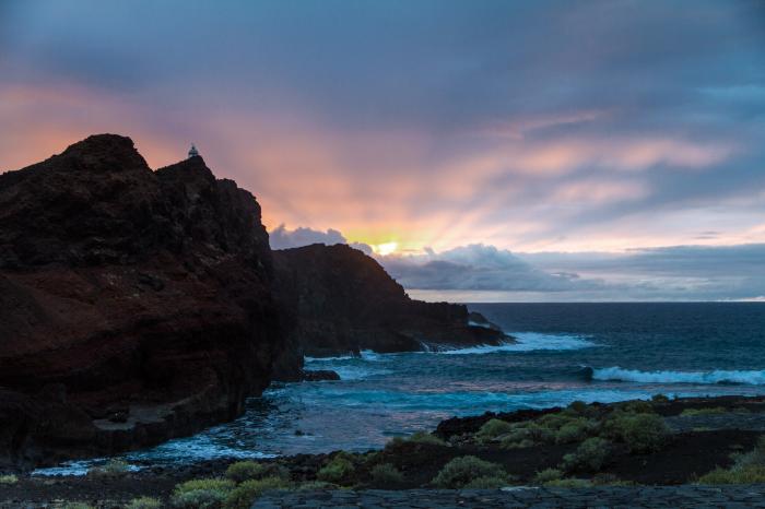

The park Punta de Teno traditionally isolated due to its limited and difficult access, with its mountainous massif in the north-west of Tenerife is of great ecological value, both scenic and cultural: it includes many examples of traditional island architecture. Large areas of laurisilva forest still survive here, a type of rich leafy forest vegetation, and are the home of many species of animals, such as, the Osprey.
www.tenerifehost.com/teno-rural-park-tenerife-guide/c1y...
www.dangerousroads.org/europe/spain/2852-carretera-del-...
www.tenerifehost.com/teno-rural-park-tenerife-guide/c1y...
www.dangerousroads.org/europe/spain/2852-carretera-del-...
Wikipedia article: https://en.wikipedia.org/wiki/Punta_de_Teno_Lighthouse
Nearby cities:
Coordinates: 28°20'30"N 16°55'22"W
- Ras Tarf 455 km
- Hajrat Al Kanab 455 km
- Hafra 524 km
- Morro del Ancla Chica 563 km
- Cape Barbas 673 km
- Azimur Point 994 km
- Cap Spartel 1327 km
- Cabo Negro 1366 km
- Three Forks Cape/ Ras Tleta Madari 1531 km
- Ras El Ma 1564 km
- Cliffs of the Giants (Acantilados de Los Gigantes) 6.9 km
- Tenerife 40 km
- Breña Alta 92 km
- Cumbre Vieja 92 km
- Cumbre Nueva 94 km
- San Andrés y Sauces 98 km
- La Palma 99 km
- Rough area of the 2021 lava flows. 100 km
- Caldera de Taburiente 103 km
- Roque de los Muchachos Observatory 105 km