Long Valley Caldera
| volcano
USA /
California /
Mammoth Lakes /
World
/ USA
/ California
/ Mammoth Lakes
World / United States / California
volcano, caldera, draw only border
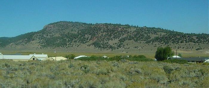


Large 10 x 19.8 mile (17 x 32 km) caldera (large volcanic collapse depression) formed during a huge eruption 760,000 years ago. This eruption was highly voluminous, with 144 cubic miles (600 cu. km) of rhyolite magma erupted in the form of massive pyroclastic flows (The Bishop Tuff) and extensive ashfall across much of the western US.
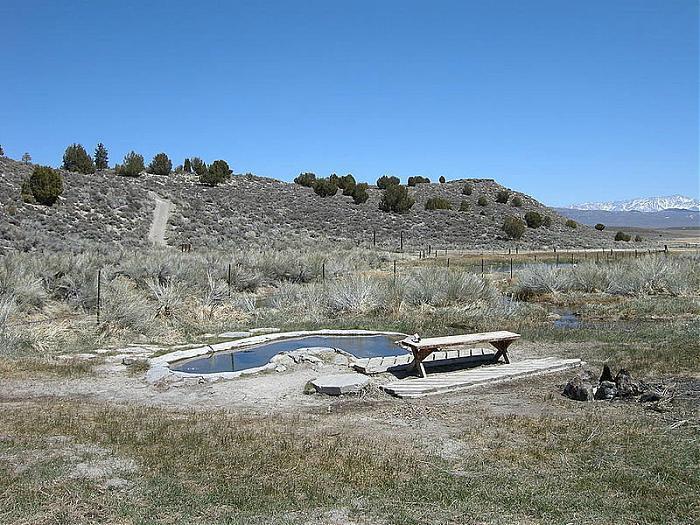
This area is closely monitored by the Long Valley Volcano Observatory.
This area is closely monitored by the Long Valley Volcano Observatory.
Wikipedia article: http://en.wikipedia.org/wiki/Long_Valley_Caldera
Nearby cities:
Coordinates: 37°40'53"N 118°51'19"W
- Coso Volcanic Field 186 km
- Uinkaret Volcanic Field 514 km
- Isla Guadalupe 946 km
- Valles Caldera 1101 km
- volcanic field 1202 km
- West Potrillo Mountains 1221 km
- Raton-Clayton Volcanic Field 1274 km
- Nevado de Toluca National Park 2755 km
- Popocatepetl Volcano 2847 km
- La Malinche National Park 2865 km
- Mammoth Yosemite Airport (MMH/KMMH) 6.3 km
- South Deadman Flow 15 km
- Duck Lake 17 km
- Devils Postpile National Monument 22 km
- Volcanic Ridge 26 km
- Garnet Lake 27 km
- Graveyard Lakes 28 km
- the Minarets 29 km
- Thousand Island Lake 29 km
- Inyo National Forest 70 km
Comments