Dorogomilovo District (Moscow)
Russia /
Moscow /
Moscow
World
/ Russia
/ Moscow
/ Moscow
, 10 km from center (Москва)
World / Russia / Moscow City / Western
district, invisible, third-level administrative division
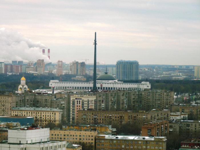
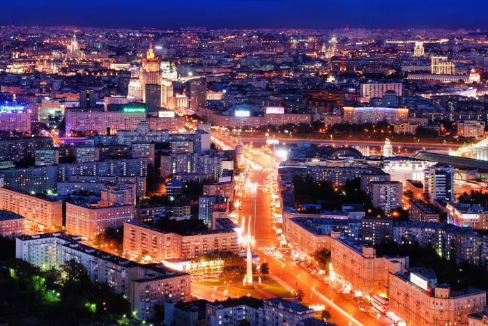
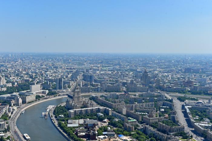
Administrative district (raion) of Western Administrative Okrug, and one of the 125 raions of Moscow, Russia. The area of the district is 7.93 square kilometres (3.06 sq mi). Population: 67,720 (2010 Census).
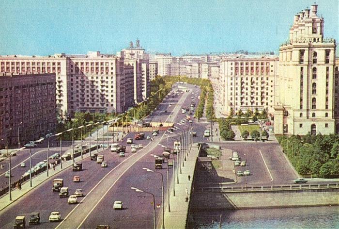
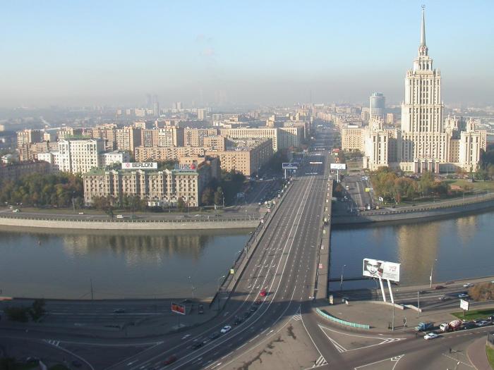
Original Dorogomilovo sloboda was located on the opposite (eastern) bank of the Moskva River, between Khamovniki and Novodevichy Monastery. Peasants of this sloboda, personally free, were paying their taxes with Yam (mail coach) service on the old road to Smolensk, the main link between Moscow and Poland. Smolensk was annexed by Moscow in the course of the Russo-Polish War, and as a result the road was straightened and a new river crossing emerged on site of present-day Borodinsky Bridge. Dorogomilovo sloboda relocated to the western bank, to present-day Dorogomilovo. For the next two hundred years, the new and the old settlements shared the same name. The only other settlement on the western bank was a fishing village owned by Patriarch.
Original Dorogomilovo sloboda was located on the opposite (eastern) bank of the Moskva River, between Khamovniki and Novodevichy Monastery. Peasants of this sloboda, personally free, were paying their taxes with Yam (mail coach) service on the old road to Smolensk, the main link between Moscow and Poland. Smolensk was annexed by Moscow in the course of the Russo-Polish War, and as a result the road was straightened and a new river crossing emerged on site of present-day Borodinsky Bridge. Dorogomilovo sloboda relocated to the western bank, to present-day Dorogomilovo. For the next two hundred years, the new and the old settlements shared the same name. The only other settlement on the western bank was a fishing village owned by Patriarch.
Wikipedia article: http://en.wikipedia.org/wiki/Dorogomilovo_District
Nearby cities:
Coordinates: 55°44'16"N 37°31'52"E
- Yuzhny Administrative Okrug 2.8 km
- Yugo-Zapadny Administrative Okrug 5.4 km
- Tsentralny Administrative Okrug 6.7 km
- Yugo-Vostochny Administrative Okrug 9 km
- Kommunarka municipal district 15 km
- Shcherbinka 24 km
- Vnukovo District 29 km
- Yukhnovsky District 191 km
- Kirovsky District 278 km
- Lyudinovsky District 288 km
- Moscow City Pedagogical College 6
- Poklonnaya ulitsa, 6 0.1 km
- Poklonnaya ulitsa, 4 0.1 km
- Poklonnaya ulitsa, 8 0.2 km
- Kutuzovskaya Metro Station 0.3 km
- Presnya transforming power substation No.805 (220/110/10 kV) 0.3 km
- Kutuzovsky prospekt, 35 0.5 km
- Car wash 0.6 km
- Moscow-Kievskaya railway station 1 km
- Ramenki District 3.6 km