Hadrut
Azerbaijan /
Xocavend /
Hadrut /
World
/ Azerbaijan
/ Xocavend
/ Hadrut
World / Azerbaijan
town
Add category
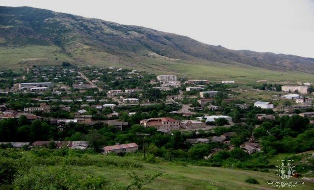
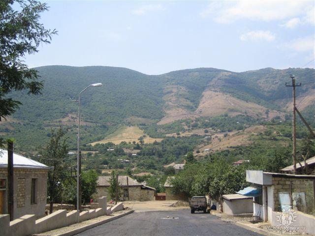
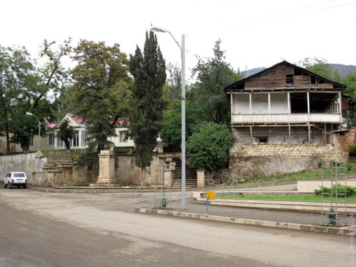

Hadrut (Armenian: Հադրութ) is a town in South Caucasus, in the Khojavend District of Azerbaijan.
In the 15th and 16th century, many of the fortifications, churches and settlements around Hadrut were destroyed by Ottoman and Safavid forces as they fought for control of the South Caucasus.
During the Soviet period, Hadrut became the centre of the Hadrut District of the Nagorno-Karabakh Autonomous Oblast within Azerbaijan SSR.
Wikipedia article: http://en.wikipedia.org/wiki/Hadrut_(town)
Nearby cities:
Coordinates: 39°31'8"N 47°1'59"E
- Boyuk Bahmanli 36 km
- Lachin 47 km
- Gasyan 118 km
- Alpout 119 km
- Khosbulagh 139 km
- Nehrəm 146 km
- Charkhana (Çarxana) 158 km
- Nij 169 km
- Gavar 191 km
- Qovlar 199 km
- Destruction of the memorial to the heroes of the 1st Artsakh War and WW2 0.5 km
- Mika-Hadrut Winery 0.6 km
- Ərgünəş dağı, 1462,9 m 3.6 km
- Javahirname mountain range 3.8 km
- Ruins of cemetery 4.4 km
- Edilli 5.9 km
- Ruins of Graveyard 6.7 km
- Hadrut District 13 km
- Khojavend District 16 km
- Fuzuli district 28 km