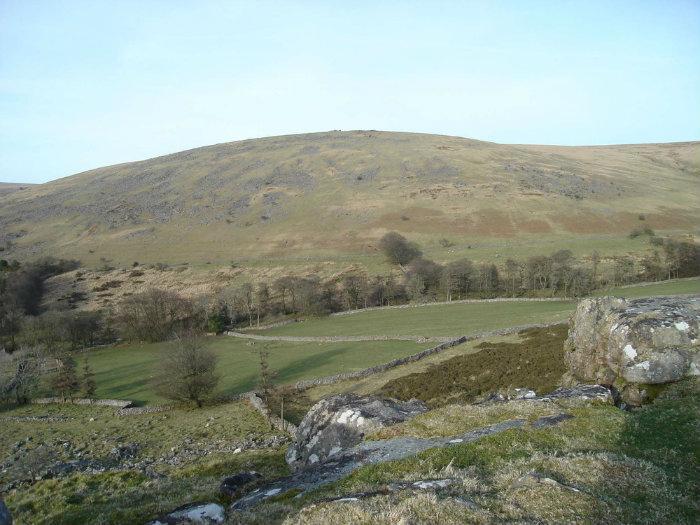
Standon Hill
United Kingdom /
England /
Horrabridge-Yelverton /
World
/ United Kingdom
/ England
/ Horrabridge-Yelverton
World / United Kingdom / England
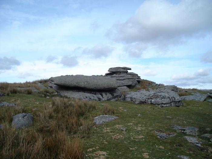
tor (rock formation)
Add category
Has several danger area notice boards nearby. Also huts for the range wardens to spot people or animals who stray.
Nearby cities:
Coordinates: 50°36'53"N 4°2'35"W
- Cox Tor 5.5 km
- Beardown Tors 5.7 km
- Yes Tor 9 km
- Meldon Hill 15 km
- Hippodrome de Longchamp 491 km
- FSO Test Track 1739 km
- Kapthurin Formation 6731 km
- Kavadia Mountain 7445 km
- Coliseum 8047 km
- Fossil falls 8432 km
- Hilltown 2.1 km
- The Langstone 2.8 km
- Wheal Jewell Reservoir 3.2 km
- Settlement 3.5 km
- Gibbet Hill 5.2 km
- Mary Tavy Hydro Electric Power Station 5.5 km
- St Peters Churchyard 5.6 km
- Tennis Court 6.9 km
- Warehouse 7.2 km
- Dartmoor National Park 12 km