Harbour of Scheveningen
Netherlands /
Zuid-Holland /
s-Gravenhage /
Vissershavenweg
World
/ Netherlands
/ Zuid-Holland
/ s-Gravenhage
World / Netherlands / Zuid-Holland
water, seaport, place with historical importance
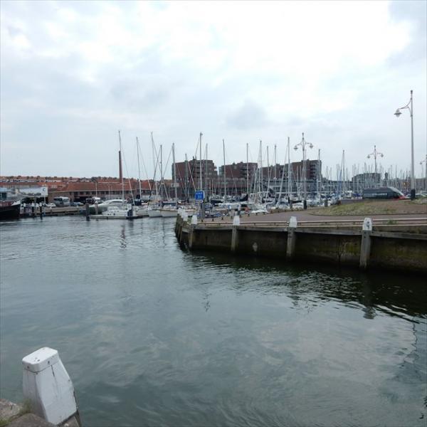
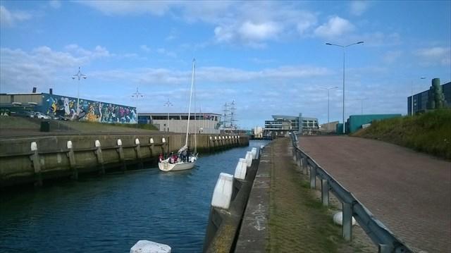
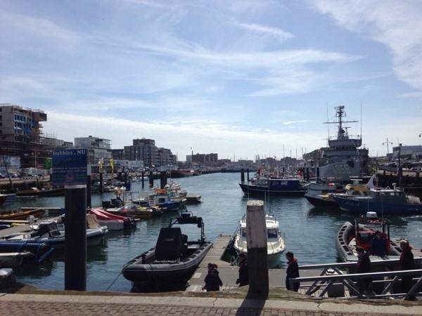
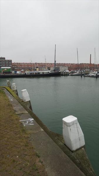
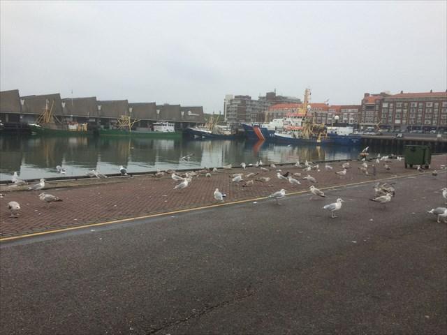
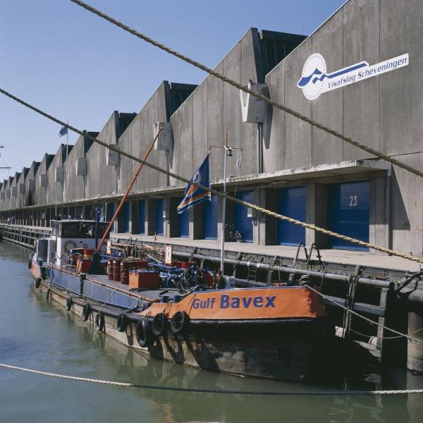
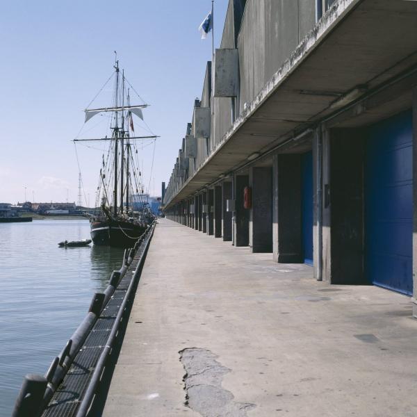
Touristic, recreational and fishing harbour.
Nearby cities:
Coordinates: 52°5'57"N 4°15'44"E
- Europoort 19 km
- Botlek 22 km
- Maasvlakte 24 km
- Western harbour area 49 km
- Vlissingen 86 km
- Port of Bruges-Zeebrugge 111 km
- Dunkirk 179 km
- Dunkerque Port Est 188 km
- Calais 211 km
- Honfleur 413 km
- Parking Place 0.2 km
- Antennafield Scheveningen Radio 0.7 km
- Bosjes van Poot 1.3 km
- Stichting De Jutters 1.7 km
- Beach of Scheveningen 1.9 km
- Scheveningen 1.9 km
- Westduinpark 2.3 km
- Segbroek 2.5 km
- The Hague (municipality) 4 km
- South Holland 20 km