Via Dolorosa (Jerusalem)
Israel /
Jerusalem /
Jerusalem
World
/ Israel
/ Jerusalem
/ Jerusalem
World / Palestinian territories / West Bank
street
Add category
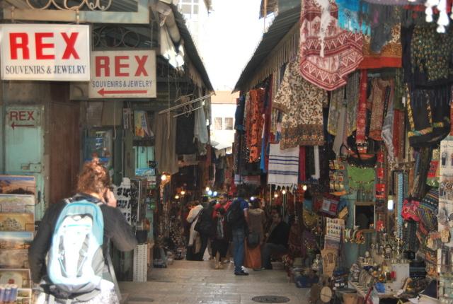
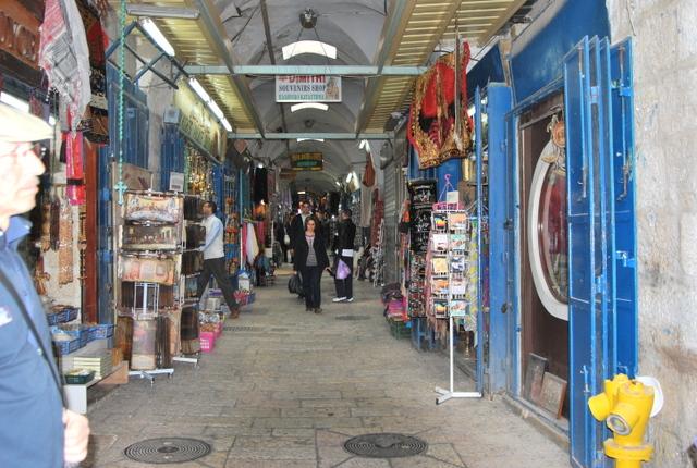
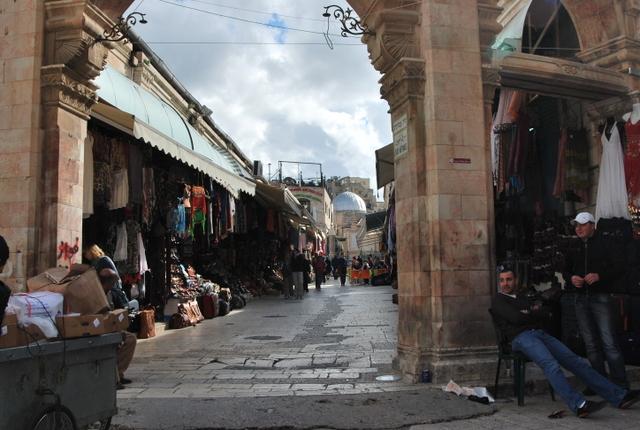
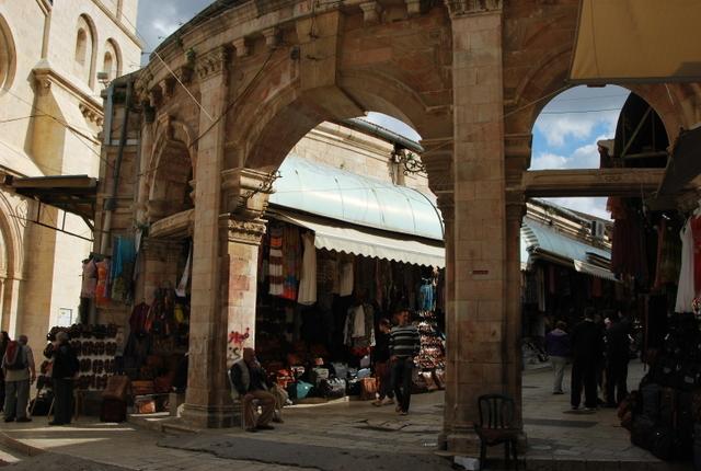
Via Dolorosa (Latin for "Way of Grief") is a street in the Old City of Jerusalem. Traditionally, it is held to be the path that Jesus walked on the way to his crucifixion, although this is uncertain. It is marked by nine of the fourteen Stations of the Cross. The last five stations are inside the Church of the Holy Sepulcher. The route is a place of Christian pilgrimage
www.youtube.com/watch?v=hO3nAAq4LsE
www.youtube.com/watch?v=hO3nAAq4LsE
Wikipedia article: http://en.wikipedia.org/wiki/Via_Dolorosa
Nearby cities:
Coordinates: 31°46'47"N 35°13'57"E
- Cardo 0.3 km
- Harat Alssawaria 54 km
- مدخل مدينة مأدبا 57 km
- Meia Olive Tree Garden st 60 km
- Massoud 76 km
- Bursh Street 77 km
- شارع آل حجازي 108 km
- Avenue 265 km
- Elmashaya 439 km
- Abi Ayoob Al Ansari Street 920 km
- Mount Moriah 0.1 km
- Muslim Quarter 0.1 km
- The Old City of Jerusalem 0.2 km
- Mount Zion 0.8 km
- Mamilla 1.1 km
- City Center 1.9 km
- East Jerusalem 2.1 km
- Gush Etzion 13 km
- Judea and Samaria ("West Bank") 19 km
- Judea 24 km