Cầu DakBla (Thành phố Kon Tum)
Vietnam /
Thai Nguyen /
Kon Tum /
Thành phố Kon Tum
World
/ Vietnam
/ Thai Nguyen
/ Kon Tum
World / Vietnam / Tây Nguyên / Kon Tum / Kon Tum
interesting place, bridge
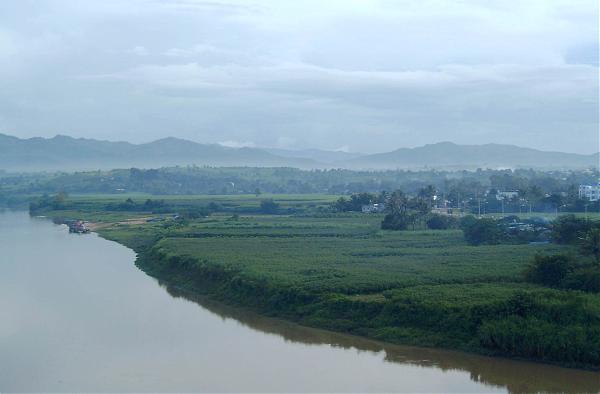


Both of the contemporary photos were taken in late September 2007. The wartime photo of the deck of the co-called South Bridge may date from 1970--certainly before 1972, when two of its spans were blown up during the Battle of Kontum. Note, of course, the huge trees on the town side of the Dak Bla. Sadly, most of them are gone, felled when the Hotel Indochine was built.
First two photos on the left by J. Michener.
First two photos on the left by J. Michener.
Nearby cities:
Coordinates: 14°20'39"N 108°0'0"E
- Yaly Reservoir 22 km
- To Nung lake 27 km
- Thuan Ninh Lake 102 km
- Đạp Khê Tân 163 km
- Cù Lao Xanh - VN 165 km
- Eakao lake 192 km
- Hồ Lắk - Lak Lake 213 km
- Nha Trang City 250 km
- Hòn TRE - Bamboo island - Vinpearl - Nha Trang 270 km
- Khu du lịch bãi biển Ninh Chữ - Ninh Thuận. 326 km
- Military garrison 6 km
- Dak Bla Reservoir--flood control & hydropower generation (7 photos) 9 km
- khu vực tiền đồn 5 15 km
- Đắk Ruồng commune 22 km
- Tan Lap commune 26 km
- Tơ Lung commune 26 km
- Đắk Kôi commune 34 km
- Mang Den Pass 36 km
- Đắk Pne commune 37 km
- Kon Ka Kinh National Park 37 km
Comments