Dak Bla Reservoir--flood control & hydropower generation (7 photos) (Thành phố Kon Tum)
Vietnam /
Thai Nguyen /
Kon Tum /
Thành phố Kon Tum /
Dak Bla Village, KonTum
World
/ Vietnam
/ Thai Nguyen
/ Kon Tum
World / Vietnam / Tây Nguyên / Kon Tum / Kon Tum
hydroelectric power station/plant, under construction
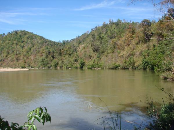
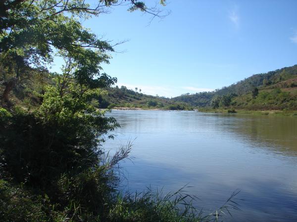
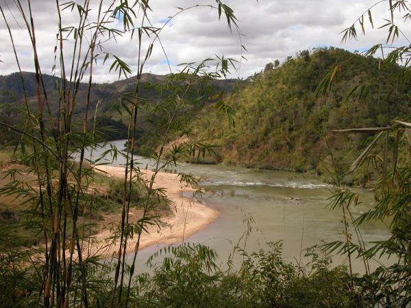
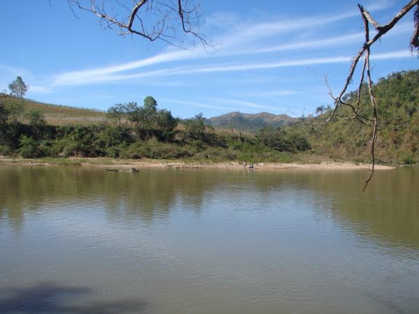
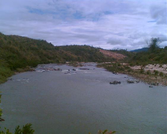
Kon Tum's Dak Bla Reservoir For Combined Flood Control and Hydropower Generation (Ho chua cat lu ket hop phat dien Dak Bla) - Kon Tum Town - Kon Tum Province
Dak Bla reservoir is constructed to adjust the flood at Kon Tum with the rate of 3% (the peak flood in 1996) and generate hydropower simultaneously.
Dak Bla reservoir has main specifications: Valley area 1,958 km3 , total volume 189,3.106 m3 , the volume for preventing flood 69,75.106 m3 .
KONIA Ltd.,Co Investor. (KONIA)
Nearby cities:
Coordinates: 14°19'15"N 108°5'1"E
- THỦY ĐIỆN DAKPSIN 42 km
- Thủy Điện Hà Năng 123 km
- Lower Sesan 2 Dam 215 km
- Don Duong reservoir 274 km
- Hydropower Plant - Headrace Tunnel 336 km
- Tri An Reservoir 358 km
- Xayaburi Dam Site 864 km
- Thac Ba lake 932 km
- Ulu Jelai Hydroelectric Project (Under Construction) 1313 km
- Lower Paunglaung Dam 1391 km
- Military garrison 8.9 km
- Military garrison 10 km
- khu vực tiền đồn 5 14 km
- Đắk Ruồng commune 17 km
- Tan Lap commune 21 km
- Tơ Lung commune 23 km
- Kon Ka Kinh National Park 28 km
- Đắk Pne commune 30 km
- Mang Den Pass 32 km
- Đắk Kôi commune 33 km
Comments