The Ochre Trail
France /
Provence-Alpes-Cote-dAzur /
Roussillon /
World
/ France
/ Provence-Alpes-Cote-dAzur
/ Roussillon
France / World / Provence-Alpes-Côte d'Azur / Vaucluse / Apt / Gordes
tourism, rocks, interesting place
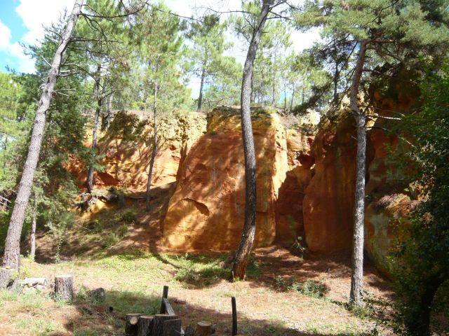

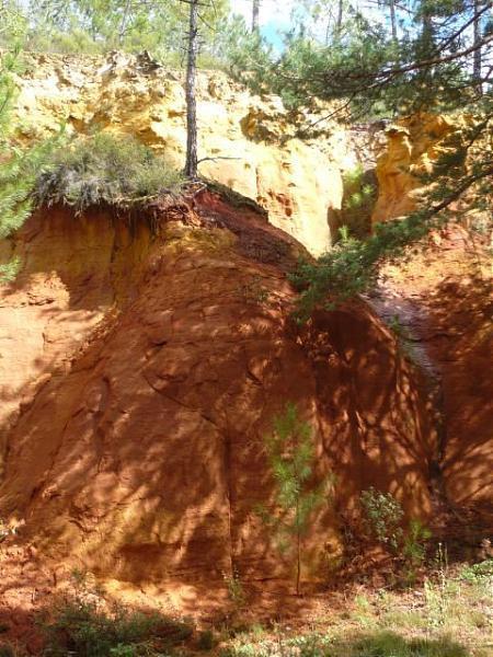
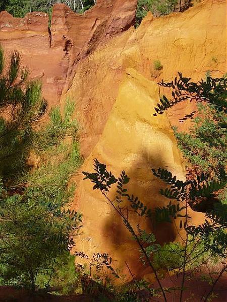
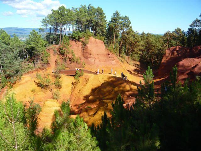
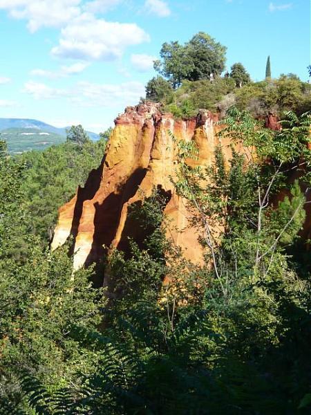
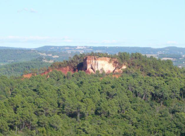
Two different trails, one short, one long take you through the ochre lands on a 30-minute or 60-minute walk. You can stay as long as you like. Information signs along the way describe the geology, the flora and the history of the ochre deposits in the Luberon… otroussillon.pagesperso-orange.fr/ang_sentier.html
Nearby cities:
Coordinates: 43°53'58"N 5°17'53"E
- Cap d'Agde 161 km
- Tourist information 229 km
- Arolla 293 km
- Barga 413 km
- Campo nell’Elba 419 km
- Podere Pianello 439 km
- Sattel-Hochstuckli 439 km
- St. Moritz 459 km
- Marilleva 1400 509 km
- Lermoos 583 km
- Bruoux ochre mining tunnels 4 km
- Château les Eydins 5.3 km
- Château la Canorgue 5.6 km
- Child Ecological Camp in 1994 5.9 km
- Abbey Saint Eusebe 12 km
- Rustrel site Verticale 1 16 km
- Colorado provençal 16 km
- Chateau d'Autet 21 km
- St Christol, Foreign Legion Quartier Koenig 23 km
- Former Special Ammo Storage - Dépôt Atelier des Munitions Speciales (DAMS) du SSBS 24 km
Bruoux ochre mining tunnels
Château les Eydins
Château la Canorgue
Child Ecological Camp in 1994
Abbey Saint Eusebe
Rustrel site Verticale 1
Colorado provençal
Chateau d'Autet
St Christol, Foreign Legion Quartier Koenig
Former Special Ammo Storage - Dépôt Atelier des Munitions Speciales (DAMS) du SSBS