Angleur
Belgium /
Luttich /
Chaudfontaine /
World
/ Belgium
/ Luttich
/ Chaudfontaine
World / Belgium / Wallonie / Liège / Liège
village, draw only border

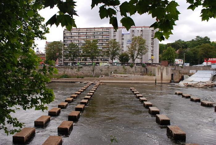
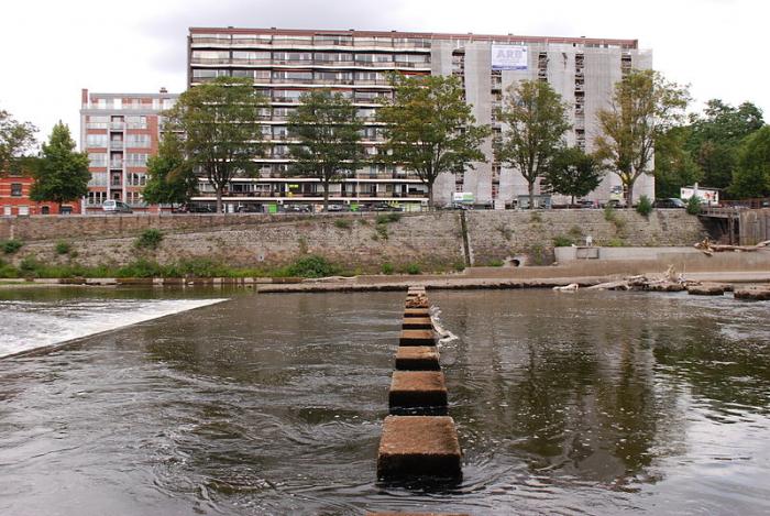
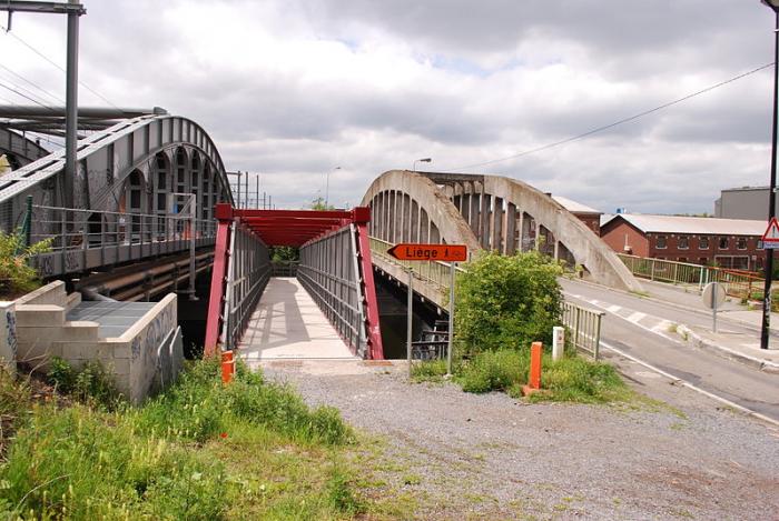
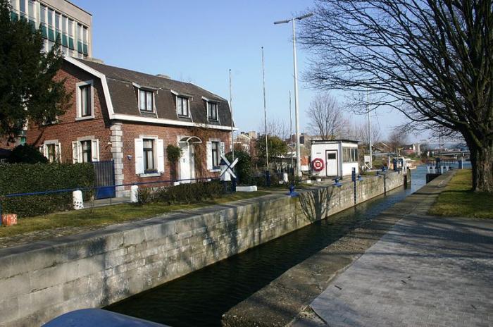
Angleur is a district of the Walloon city of Liège, Belgium, since 1977. It is located at the foot and on the slope of a hill in the southern part of Liège, located between the rivers Ourthe and Meuse. The lower part involves an area known as Renory and a railway station called Gare d'Angleur and the higher part is located around the roundabout of Sart Tilman where the Liège Science Park is located. Two mansions can be found in the lower part of Angleur : the Chateau Péralta and the Chateau Nagelmackers
Wikipedia article: http://en.wikipedia.org/wiki/Angleur
Nearby cities:
Coordinates: 50°36'25"N 5°35'47"E
- Beauraing (Municipality) 74 km
- Doische (Municipality) 84 km
- Gedinne 84 km
- Genappe (municipality) 86 km
- Philippeville (Municipality) 90 km
- Vresse-sur-Semois (municipality) 92 km
- Viroinval (Municipality) 94 km
- Beaumont (municipality) 107 km
- Chimay (Municipality) 113 km
- Momignies 120 km
- Tunnel of Kinkempois 0.9 km
- Ancient Ourthe Canal 0.9 km
- Port de Renory 2.3 km
- Cointe Tunnel 2.5 km
- ArcelorMittal 3.1 km
- Centres sportifs du Sart-Tilman 3.8 km
- Saint-Gilles slag heap 4.1 km
- ArcelorMittal - Mosacier 4.3 km
- ArcelorMittal Liege - Site of Tilleur 4.6 km
- Royal Golf Club Sart Tilman 4.6 km