Montreuil (Montreuil-sous-Bois)
| suburb, commune - administrative division, bus stop, public telephone
France /
Ile-de-France /
Vincennes /
World
/ France
/ Ile-de-France
/ Vincennes
France / World / Île-de-France / Seine-Saint-Denis / Bobigny / Montreuil
suburb, commune - administrative division, draw only border, bus stop, public telephone

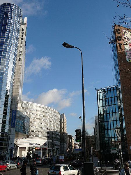
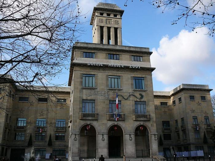

Montreuil (sometimes unofficially called Montreuil-sous-Bois) is a commune in the eastern suburbs of Paris, France. It is located 6.6 km (4.1 mi) from the center of Paris. It is the third most populous suburb of Paris (after Boulogne-Billancourt and Argenteuil). Montreuil is located near the Bois de Vincennes park.
Wikipedia article: http://en.wikipedia.org/wiki/Montreuil,_Seine-Saint-Denis
Nearby cities:
Coordinates: 48°51'49"N 2°26'56"E
- Knielingen 428 km
- Greve Strand 1001 km
- Albertslund 1013 km
- Avedøre 1014 km
- Hvidovre 1016 km
- Ballerup 1017 km
- Herlev Municipality 1021 km
- Gladsaxe Kommune 1024 km
- Gentofte Kommune 1028 km
- Chwaszczyno (csb. Chwaszczëno) 1262 km
- École Diderot 0.3 km
- cemetery 0.3 km
- SOM street 0.5 km
- cemetery 0.5 km
- 12th arrondissement (Reuilly) 3.9 km
Comments