Salton Sea
USA /
California /
Bombay Beach /
World
/ USA
/ California
/ Bombay Beach
World / United States / California
salt lake
Add category

Saltwater lake below sea level
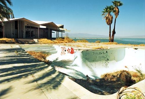
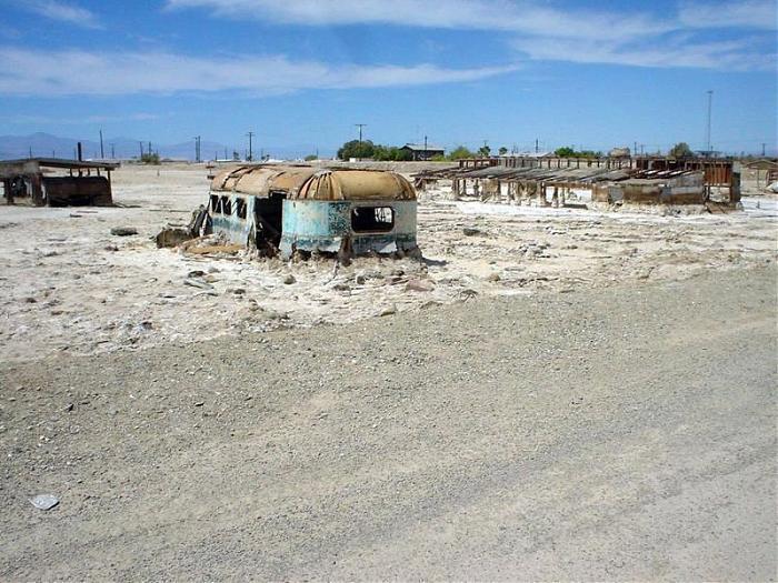
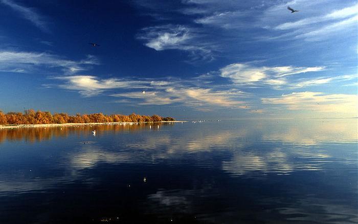
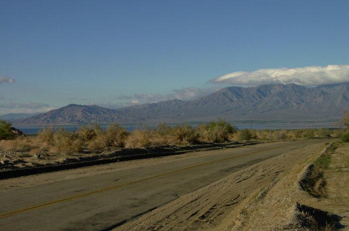
The Salton Sink started off as just this muddy area that no one could cross but then got flooded in 1905 due to a tear through a fragile irrigation canal. The canal fed the Salton Sink for about 18 months before it could be controlled and with the flooding it got its new name the Salton Sea. The Salton Sea is one of the biggest lakes in California to this day with about 375 square miles. The Salton sea used to be used by many people in its glory days. There used to be speed boat races, fishing, camping along the lake, and even swimming. Now though the Salton Sea attracts people for a whole different reason. Many people come to see how the Salton has turned out and it calls attention to hundreds of scientist a year who come and want to help fix the enormous lake. The Salton Sea is still being used today as a place to store the runoff from fields and as testing on the environment for scientist
cleantechnica.com/2021/12/05/lithium-brine-bummer-could...
Wikipedia article: http://en.wikipedia.org/wiki/Salton_Sea
Nearby cities:
Coordinates: 33°18'47"N 115°50'4"W
- Danby Lake 121 km
- Soda Lake 433 km
- Salt Lakes 619 km
- Great Salt Lake 965 km
- Big Quill Lake 2271 km
- Lake Pontchartrain 2418 km
- Irikki 9795 km
- Sebkha Of Oran 9797 km
- Aleg lake 10024 km
- Sebkhet el Melah 10223 km
- Salton City, California 11 km
- Truck Haven OHV 20 km
- Borrego Valley Manuever Area 26 km
- Orocopia Mountains Wilderness Area (BLM) 31 km
- Mecca Hills Wilderness Area (BLM) 38 km
- Chocolate Mountain Aerial Gunnery Range (CMAGR) 45 km
- Chocolate Mountains 50 km
- Mammoth Wash Dunes 56 km
- Coachella Valley 61 km
- Joshua Tree National Park 65 km
Comments