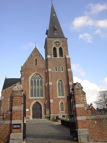
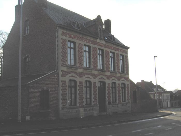
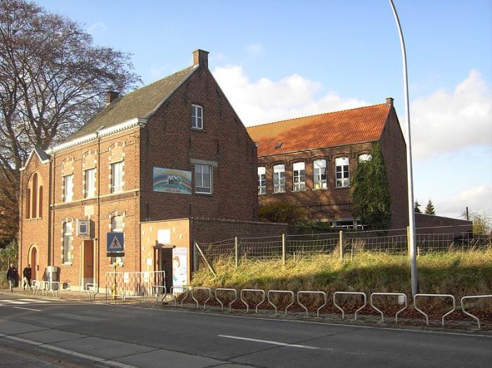
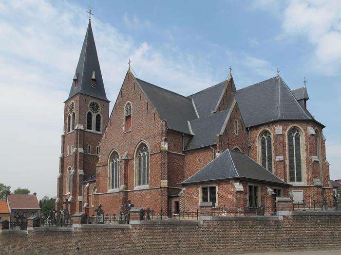
Strijpen
Belgium /
Ost-Flandern /
Zottegem /
World
/ Belgium
/ Ost-Flandern
/ Zottegem
World / Belgium / Vlaanderen / Oost-Vlaanderen / Aalst
village, draw only border
Nearby cities:
Coordinates: 50°52'10"N 3°47'20"E
- Zottegem (Municipality) 6.2 km
- Brakel (municipality) 6.8 km
- Ninove (municipality) 9 km
- Oudenaarde (municipality) 18 km
- Lochristi (Municipality) 31 km
- Ghent 32 km
- Lokeren (Municipality) 34 km
- Evergem (municipality) 38 km
- Sint-Niklaas (Municipality) 40 km
- Temse (Municipality) 42 km
- Platform 2-3 1.8 km
- Car Park P1 1.8 km
- Platform 1 1.8 km
- Railway Station Zottegem 1.8 km
- Platform 4-5 1.8 km
- Platform 6-7 1.8 km
- Area Railway Station Zottegem 1.8 km
- Car Park P2 1.9 km
- Municipal Cemetery 2 km
- PTI Zottegem 2.4 km