Zottegem (Municipality) (Strijpen)
Belgium /
Ost-Flandern /
Zottegem /
Strijpen
World
/ Belgium
/ Ost-Flandern
/ Zottegem
World / Belgium / Vlaanderen / Oost-Vlaanderen / Aalst
municipality, draw only border
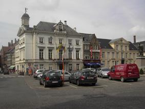
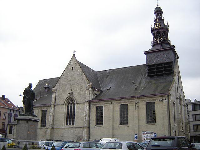
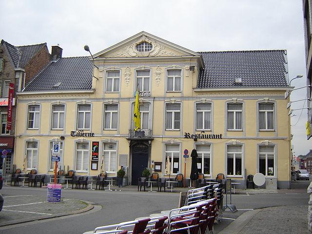
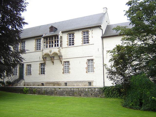
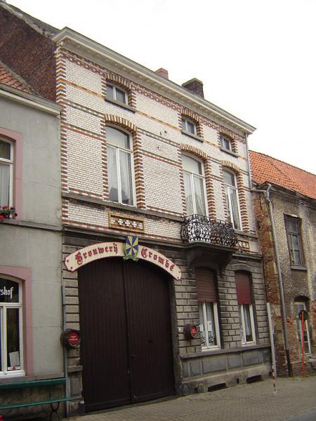
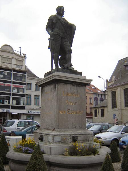
Zottegem is a municipality located in Belgium and more particularly in Flanders, in the province of East Flanders. The municipality comprises the city of Zottegem proper and the towns of Elene, Erwetegem, Godveerdegem, Grotenberge, Leeuwergem, Oombergen, Sint-Goriks-Oudenhove, Sint-Maria-Oudenhove, Strijpen and Velzeke-Ruddershove. This map points to the City of Zottegem
Wikipedia article: http://en.wikipedia.org/wiki/Zottegem
Nearby cities:
Coordinates: 50°51'51"N 3°48'25"E
- Terneuzen (municipality) 60 km
- Hulst (municipality) 63 km
- Sluis (municipality) 68 km
- Borsele (municipality) 71 km
- Ypres (municipality) 73 km
- Reimerswaal 76 km
- Heuvelland 77 km
- Tholen (muncipality) 89 km
- Veere (municipality) 91 km
- Flushing (municipality) 91 km
- Car Park P1 0.6 km
- Municipal Cemetery 0.6 km
- Railway Station Zottegem 0.7 km
- Platform 1 0.7 km
- Platform 2-3 0.7 km
- Platform 6-7 0.7 km
- Car Park P2 0.7 km
- Area Railway Station Zottegem 0.7 km
- Platform 4-5 0.7 km
- PTI Zottegem 1.3 km