Lommersweiler
| village
Germany /
Rheinland-Pfalz /
Winterspelt /
World
/ Germany
/ Rheinland-Pfalz
/ Winterspelt
village, draw only border


Lommersweiler is a town and sub-municipality of the Belgian municipality of Sankt Vith. Lommersweiler is located in the province of Liège, it was an independent municipality until the municipal reorganization of 1977.
The sub-municipality of Lommersweiler includes the cores of Alfersteg, Atzerath, Breitfeld, Galhausen, Heuem, Neidingen, Schlierbach, Setz, Steinebrück, Weppeler and Wiesenbach.
The area was already inhabited by the Celts and later by the Romans. The Via Mansuerisca (from Maastricht to Trier) probably ran through this area.
The origin of the current village is unknown, but in 1327 a certain Theodorich von Lummerswilre was mentioned, who was lord of the castle of Reuland. The area then belonged to the county of Vianden and from 1405 (or 1417) to the House of Nassau.
Nearby cities:
Coordinates: 50°16'24"N 6°10'54"E
- Sankt Vith 5.5 km
- Crombach 10 km
- Burg-Reuland 12 km
- Ouren 14 km
- Beho 15 km
- Clervaux 26 km
- Diekirch 44 km
- Bastogne 45 km
- Villers-la-Bonne-Eau 49 km
- Livarchamps 50 km
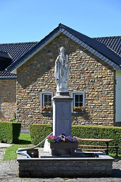
- Antonius Tree 0.7 km
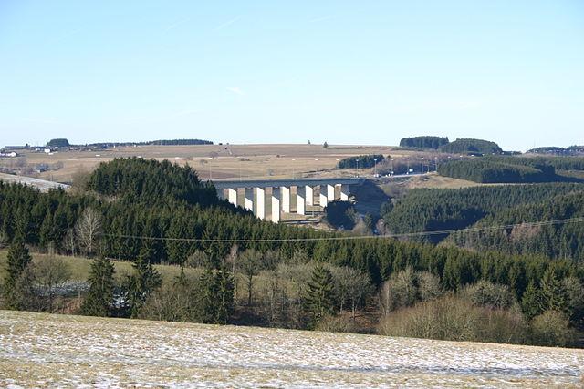
- Breitfeld Viaduct 2.7 km
- Border bridge Steinebrück (D/B) 3.9 km
- Road bridge 5.3 km
- Destroyed railway bridge 5.5 km
- Road bridge 5.7 km
- Hill 504 6.6 km
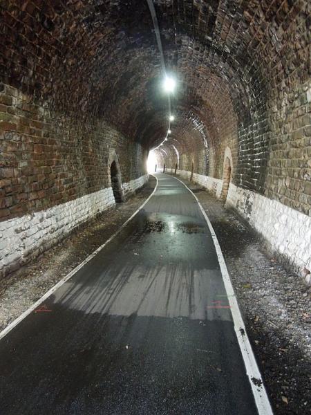
- Underpass 7.2 km
- Hill 536 7.2 km
- Road bridge 9 km