Hualalai
USA /
Hawaii /
Holualoa /
World
/ USA
/ Hawaii
/ Holualoa
World / United States / Hawaii
mountain, volcano
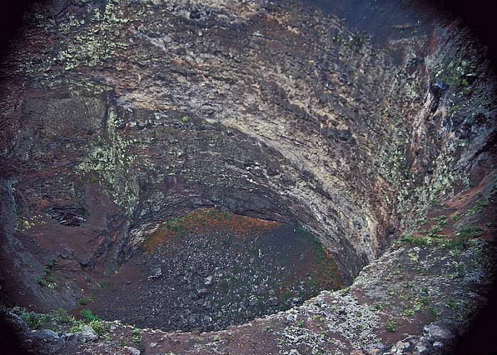
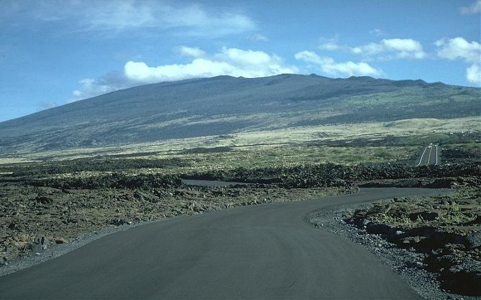
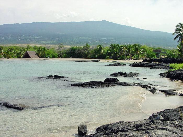
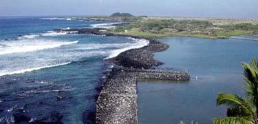
Hualalai is the third volcano on Hawai'i. It's the third oldest, the third most active, and at 8,271 feet elevation, it's also the third tallest volcano. Hualalai last erupted in 1801, and geologists expect it to erupt again within the next 100 years.
The summit area is owned by the Bishop Estate, and access is limited.
Reference: USGS Hualalai (HI) 1:24K topo map
Information: hvo.wr.usgs.gov/volcanoes/hualalai/
Information: "Hawaii The Big Island Revealed", Second Edition, Doughty & Friedman, p. 63-64.
The summit area is owned by the Bishop Estate, and access is limited.
Reference: USGS Hualalai (HI) 1:24K topo map
Information: hvo.wr.usgs.gov/volcanoes/hualalai/
Information: "Hawaii The Big Island Revealed", Second Edition, Doughty & Friedman, p. 63-64.
Wikipedia article: http://en.wikipedia.org/wiki/Hualalai
Nearby cities:
Coordinates: 19°41'26"N 155°52'0"W
- Mauna Loa 25 km
- Hawaii Volcanoes National Park 28 km
- Mauna Kea 37 km
- Kiholo Ridge 60 km
- Kīlauea East Rift Zone 68 km
- Loʻihi Seamount 90 km
- Indianapolis Seamount 102 km
- Penguin Bank 257 km
- Wai'anae Slump 359 km
- Nero Seamount 2449 km
- Pu'u Wa'awa'a Forest Bird Sanctuary 4 km
- Honua'ula Forest Reserve - Southern Section 5 km
- Kalaoa, Hawaii 11 km
- Mauna Loa 1859 Lava Flow 11 km
- Puʻuwaʻawaʻa Forest Reserve 11 km
- Hualalai Cooperative Nene Sanctuary 12 km
- Pu'u Wa'awa'a Cooperative Game Management Reserve 14 km
- Ka‘ūpūlehu 1801 Lava Flow 15 km
- Keamuku Maneuver Area 26 km
- Hawai‘i 47 km