Point Bonita
USA /
California /
Sausalito /
World
/ USA
/ California
/ Sausalito
World / United States / California
park
Add category
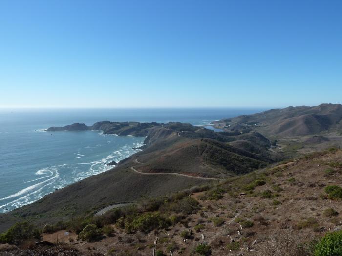
Part of the Golden Gate National Recreation Area. The Point Bonita Reservation engineering complex buildings here were constructed by the Army Corps of Engineers to manage the construction of the new Fort Barry batteries.
Wikipedia article: http://en.wikipedia.org/wiki/Point_Bonita_Lighthouse
Nearby cities:
Coordinates: 37°49'9"N 122°31'40"W
- Muir Woods National Monument 13 km
- Mount Tamalpais State Park 14 km
- Bolinas Lagoon 20 km
- Mount Tamalpais Watershed 27 km
- Samuel P. Taylor State Park 32 km
- Olompali Ranch Historic Park 41 km
- Drake's Estero 48 km
- Tomales Bay State Park 49 km
- Tomales Point 62 km
- Point Reyes National Seashore 64 km
- San Francisco Main Ship Channel 2.2 km
- Golden Gate 2.5 km
- Fort Cronkhite 2.8 km
- Tennessee Valley / Tennessee Cove 3.3 km
- Potato Patch Shoal 4.8 km
- USS Benevolence (AH-13) (approximate) 5.1 km
- Muir Beach, California 6.6 km
- Richardson Bay 6.6 km
- Marin County, California 23 km
- San Francisco Bay 25 km