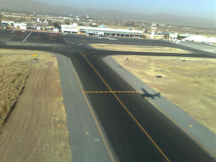
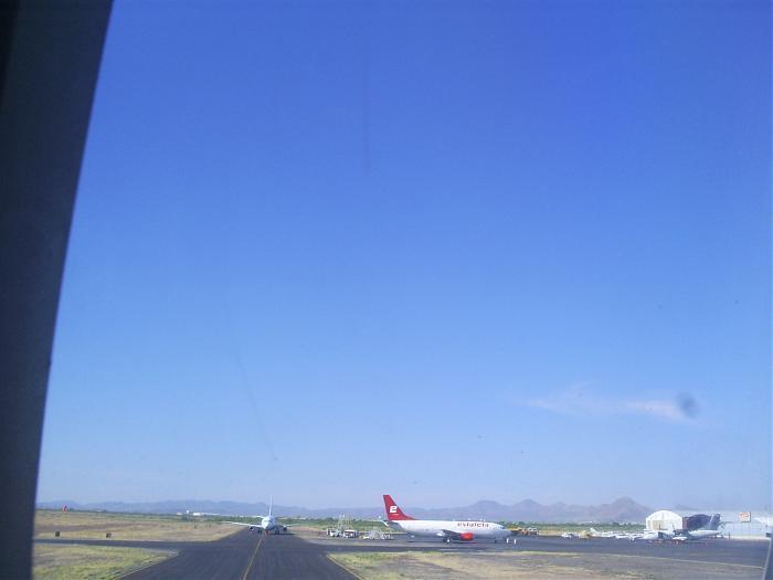
General Roberto Fierro Villalobos International Airport
Mexico /
Chihuahua /
World
/ Mexico
/ Chihuahua
/ Chihuahua
World / Mexico / Chihuahua
airport, military airbase

Wikipedia article: http://en.wikipedia.org/wiki/General_Roberto_Fierro_Villalobos_International_Airport
Nearby cities:
Coordinates: 28°42'8"N 105°57'46"W
- Abraham González International Airport (CJS/MMCS) 332 km
- El Paso International Airport (ELP/KELP) 351 km
- Biggs Army Airfield (BIF/KBIF) 355 km
- Pecos Municipal Airport (PEQ/KPEQ) 381 km
- Fort Stockton-Pecos County Airport (FST/KFST) 384 km
- Ciudad Obregon International Airport 408 km
- Bisbee-Douglas International airport (DUG/KDUG) 469 km
- Midland International Air and Space Port (KMAF/MAF) 510 km
- General Guadalupe Victoria International Airport (DGO) 526 km
- Libby Army Airfield and Sierra Vista Municipal Airport (FHU/KFHU) 533 km
- Runway 18L / 36R General Roberto Fierro Villalobos International Airport 0.1 km
- Runway 04 / 22 General Roberto Fierro Villalobos International Airport 0.6 km
- Control Tower 0.6 km
- Parking Airport 0.7 km
- Convair CV-440 0.8 km
- Convair C-131A Samaritan 0.9 km
- Lockheed T-33A Shooting Star 0.9 km
- Electrical Substation 7.1 km