Easton (Bristol)
United Kingdom /
England /
Kingswood /
Bristol
World
/ United Kingdom
/ England
/ Kingswood
World / United Kingdom / England
electoral ward, draw only border

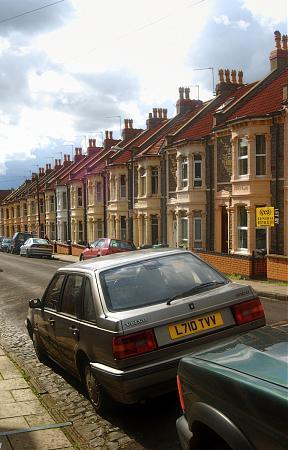


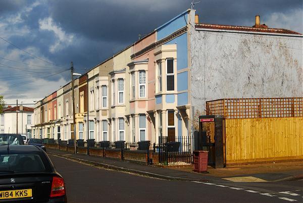

Easton is an inner city area of the city of Bristol in the United Kingdom. Informally the area is considered to stretch east of Bristol city centre and the M32 motorway, centred on Lawrence Hill.
Wikipedia article: https://en.wikipedia.org/wiki/Easton,_Bristol
Nearby cities:
Coordinates: 51°27'41"N 2°33'33"W
- Kingswood 2.9 km
- Salisbury Plain 29 km
- Cranborne Chase AONB 30 km
- Dorset 51 km
- Salisbury 64 km
- Wellow Parish 84 km
- Romsey Parish 86 km
- Copythorne Parish 87 km
- North Baddesley Parish 93 km
- Beaulieu Airfield 101 km
- The City Academy Bristol 0.2 km
- Lawrence Hill Bus Depot 0.5 km
- Packers Playing Fields 0.6 km
- St George Park 0.8 km
- Lawrence Hill Roundabout 0.9 km
- Netham Park 0.9 km
- Avonview Cemetery 1 km
- Barton Hill Academy 1 km
- Hassell Drive Open Space 1.1 km
- Brislington 2.4 km