Pedestrian walkway
Romania /
Sibiu /
Carta /
World
/ Romania
/ Sibiu
/ Carta
walkway, pedestrian bridge, 1964_construction
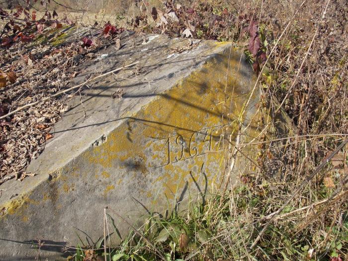
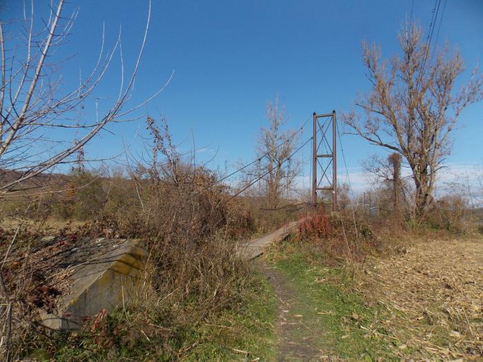
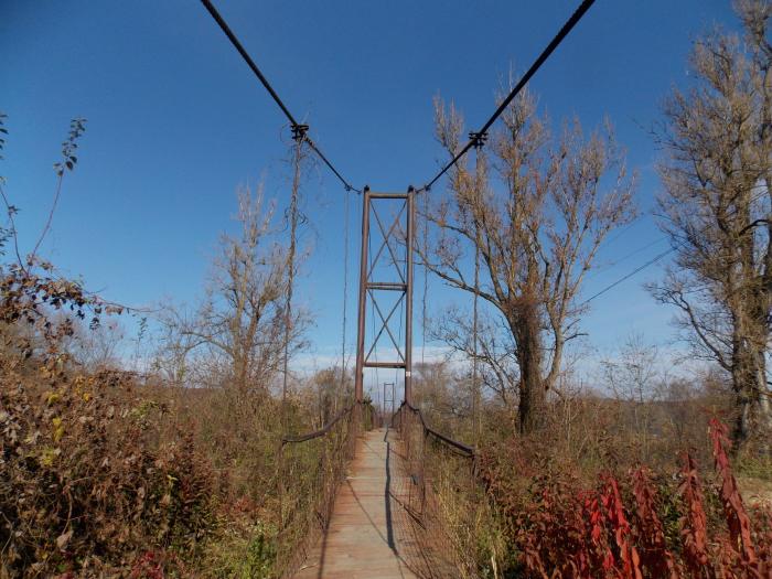
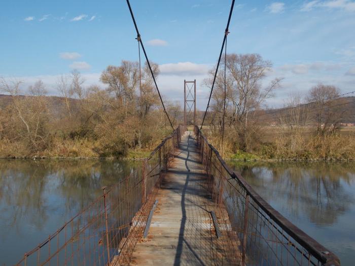
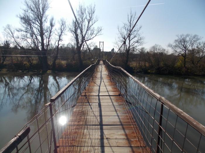
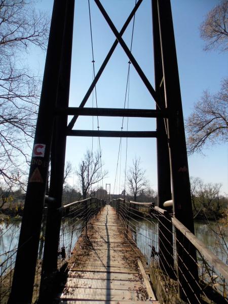
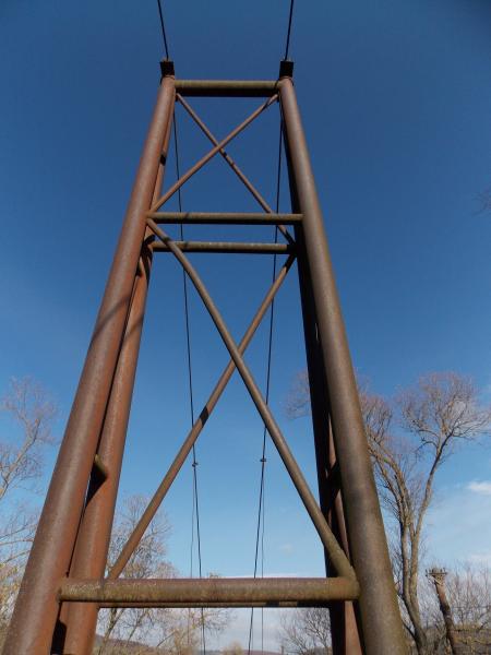
Pedestrian walkway over the Olt River built in 1964, which shortens the road between Cârța and Nou Român.
After its rather degraded condition, but still practicable (a lot of caution is required), it has not been rehabilitated since opening.
After its rather degraded condition, but still practicable (a lot of caution is required), it has not been rehabilitated since opening.
Nearby cities:
Coordinates: 45°47'41"N 24°34'13"E
- Etar - Architectural-Ethnographic Complex 338 km
- Government of Moldova 354 km
- Central Main Bus-Station 355 km
- Primorski Swimming Complex 393 km
- Diana Sports Hall 399 km
- Kuchurgan (Moldavskaya) Power Station 423 km
- Ivaylovgrad Reservoir 472 km
- Hydroelectric power station of Haivoron 491 km
- Varvarovsky bridge 583 km
- School No 37 722 km
- Former Cistercian abbey - built in the year 1202 0.4 km
- Arpașu hydroelectric power plant and dam 1.8 km
- Scoreiu Reservoir 3.1 km
- Cârţa Industrial Park 3.4 km
- Arpaşu Reservoir 4.6 km
- Cârţişoara 7.7 km
- Channel 11 km
- Avrig Reservoir 12 km
- Sibiu County 25 km
- Făgăraş Mountains 30 km