Mission La Purisima Conception
USA /
California /
Mission Hills /
World
/ USA
/ California
/ Mission Hills
World / United States / California
place with historical importance, state park

www.lapurisimamission.org/
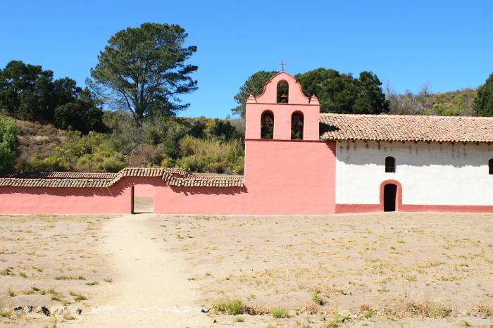
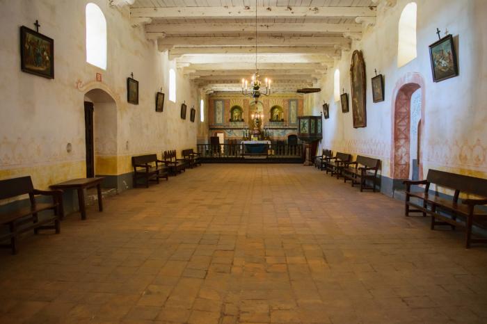
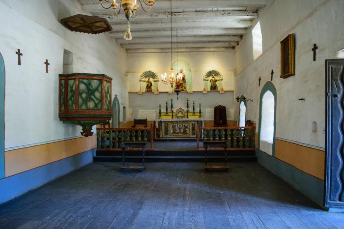
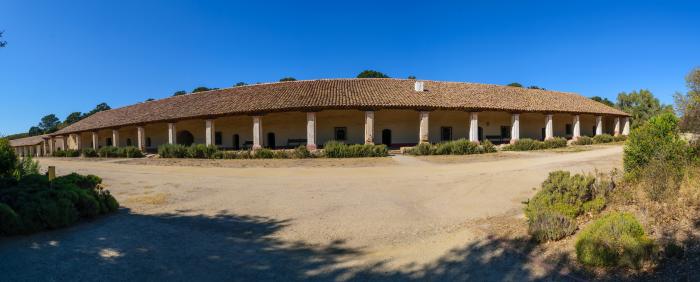
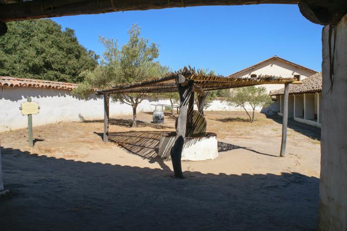
This mission was moved here after an earthquake destroyed the original mission near downtown Lompoc in 1812. Abandoned by the Church, it was left to rot until restored by the Civilian Conservation Corps in the 1930s. It is now operated as a historic park by the State of California.
This mission was moved here after an earthquake destroyed the original mission near downtown Lompoc in 1812. Abandoned by the Church, it was left to rot until restored by the Civilian Conservation Corps in the 1930s. It is now operated as a historic park by the State of California.
Wikipedia article: https://en.wikipedia.org/wiki/La_Purísima_Mission_State_Historic_Park
Nearby cities:
Coordinates: 34°40'21"N 120°25'16"W
- Gaviota State Park 24 km
- El Tajiguas Ranch 35 km
- Santa Barbara Airport (SBA/KSBA) 58 km
- Gardner Army Airfield (site) 113 km
- Fort Tejon State Historic Park 140 km
- Val Verde, California 161 km
- Indian Auxilliary Field (site) 166 km
- Santa Clarita Woodlands Park+ Mentryville Historic Park 167 km
- Lemoore Army Airfield (site) 181 km
- Placerita Canyon State Park 182 km
- La Purísima Mission State Historic Park 0.9 km
- Mission Hills 2.4 km
- Lompoc Airport (LPC/KLPC) 4.3 km
- The Mission Club 5.5 km
- Vandenberg Village 5.7 km
- Celite Corporation Diatomite Quarry 7.5 km
- Lompoc Federal Correctional Complex 7.8 km
- Vandenberg AFB Landfill 11 km
- Vandenberg Air Force Base (VBG/KVBG) 12 km
- Space Launch Complex 3 (SLC-3) (Active) 16 km