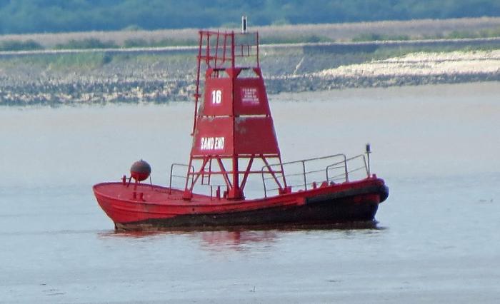
Lightfloat Middle Whitton
United Kingdom /
England /
Brough /
World
/ United Kingdom
/ England
/ Brough
lighthouse
Add category
Nearby cities:
Coordinates: 53°43'7"N -0°36'46"E
- Whitby Lower Harbour 86 km
- Souter Point Lighthouse 148 km
- Wyre lighthouse 161 km
- Bidston Observatories and Lighthouse 167 km
- Liverpool bay Lightvessel Bar 182 km
- Lees Scar Lighthouse 222 km
- Old lighthouses of Kaf-of-Maine 279 km
- Mull of Galloway Lighthouse 295 km
- Pladda Lighthouse 347 km
- Sanda Island Lighthouse nicknamed "the Ship" 365 km
- British Aerospace Brough 2.9 km
- Brough Aerodrome 3.1 km
- Read's Island 5.2 km
- North Ferriby 6.8 km
- Blacktoft Sands RSPB reserve 7.3 km
- Normanby Hall 10 km
- Corus Scunthorpe Steel Works 15 km
- Wrawby 20 km
- Humber Estuary 23 km
- Humberside International Airport 24 km