Sint-Martens-Latem
Belgium /
Ost-Flandern /
Sint-Martens-Latem /
World
/ Belgium
/ Ost-Flandern
/ Sint-Martens-Latem
village, draw only border
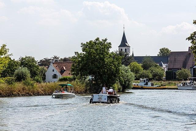


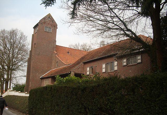


Sint-Martens-Latem (Dutch pronunciation: [sɪnt ˌmɑrtəns ˈlaːtəm]) is a village in the municipality with the same name, located in the Belgian province of East Flanders, in Belgium.
Wikipedia article: https://en.wikipedia.org/wiki/Sint-Martens-Latem
Nearby cities:
Coordinates: 51°0'48"N 3°37'50"E
- Zottegem (Municipality) 13 km
- Oudenaarde (municipality) 14 km
- Ghent 15 km
- Lochristi (Municipality) 19 km
- Brakel (municipality) 19 km
- Evergem (municipality) 21 km
- Lokeren (Municipality) 25 km
- Ninove (municipality) 26 km
- Sint-Niklaas (Municipality) 33 km
- Temse (Municipality) 39 km
- Royal Latem Golf Club 0.9 km
- Grand Noble Castle 2.3 km
- Moerkensheide 3.4 km
- Parkbos 3.4 km
- Waterski Club Schuurkesbeekplas 3.8 km
- Quarters Belgian Pipeline Organization Station Nazereth 4 km
- Hemelrijk Castle 4.1 km
- hospice 4.3 km
- Boeregem Castle 4.7 km
- Welden Castle 5.5 km