Korohod
Ukraine /
Kyyivska /
Prypyat /
World
/ Ukraine
/ Kyyivska
/ Prypyat
, 15 km from center (Припьять)
World / Ukraine / Kiev
ghost town
Add category
Abandoned village
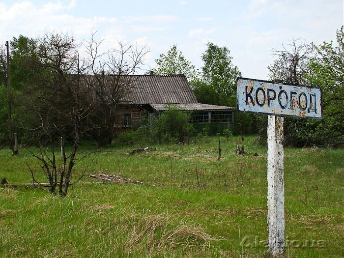
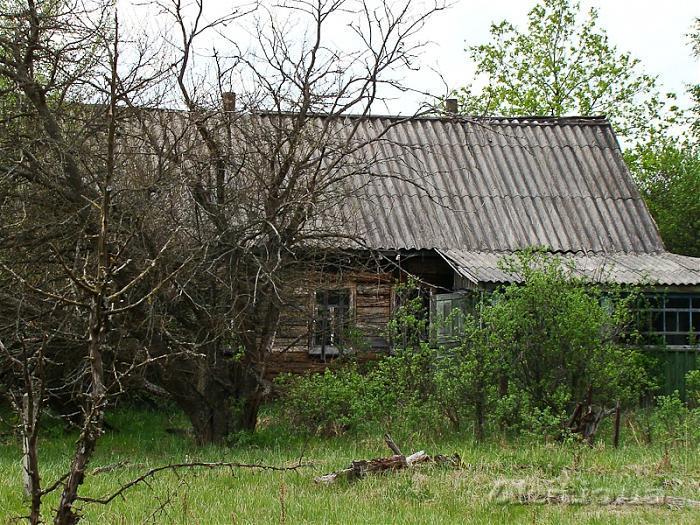
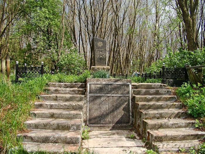
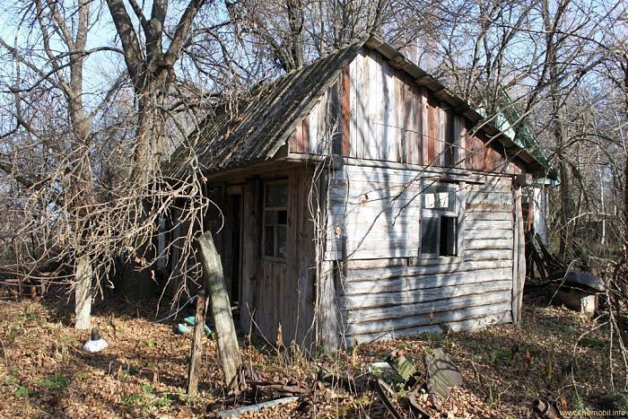
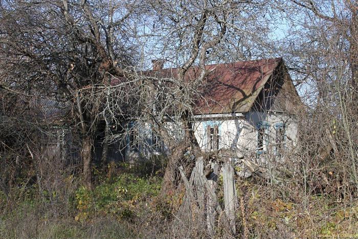
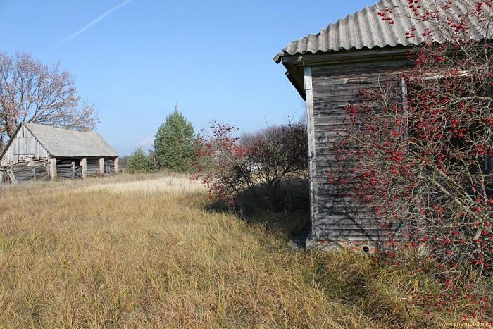
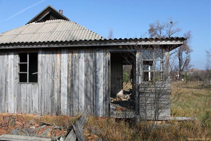
Korohod is a former village in Ukraine, in the Ivankiv district of the Kyiv region. Until 1986, it belonged to the Chornobyl district of Kyiv region (15 km from the former district centre of Chornobyl).
On the eve of the Chornobyl accident, the village had a population of 1395 people, was the centre of the village council of the same name, and had a school.
In 1986, the residents of Korohod were resettled to the village of Novyi Korohod in Borodynka district of Kyiv region due to significant radioactive contamination caused by the Chornobyl accident. In 1999, the village was excluded from the register due to the absence of residents.
Nearby cities:
Coordinates: 51°16'27"N 30°0'26"E
- Chornobyl 13 km
- Tovstyi Lis 21 km
- Martynovychi 30 km
- Novyi Myr 32 km
- Denysovychi 34 km
- Buda-Varovychi 38 km
- Poliske 45 km
- Vilcha 46 km
- Oshytky 48 km
- Chernyn 55 km
- Korohodskyi Forest 2.3 km
- Roz'yizhdzhi Mountain Range Tract 4.1 km
- Sanitary logging 4.5 km
- Rozizhdzhe 7.2 km
- Chornobyl Exclusion Zone 7.4 km
- Novosilky 7.4 km
- Hlynka 7.9 km
- Zamoshnia 8.6 km
- Burnt forest 10 km
- Forest 14 km
Comments