Arlit
Niger /
Agadez /
Arlit /
World
/ Niger
/ Agadez
/ Arlit
World / Niger / Agadez / Arlit
city
Add category
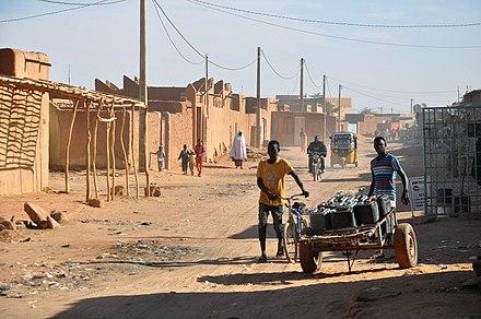


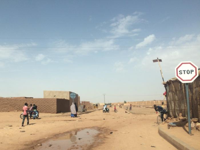
Arlit is an industrial town and capital of the Arlit Department of the Agadez Region of northern-central Niger, built between the Sahara desert and the eastern edge of the Aïr mountains.
It is 200 km south by road from the border with Algeria. The town had a population of 69,435 at the 2001 census, and an estimated population of 80,000 in 2006.
In 2006 3434 tonnes of uranium were extracted from the Arlit mines and exported to France via truck to the seaport at Cotonou, Bénin.
Founded in 1969 following the discovery of uranium, it has grown around the mining industry, developed by the French government.
Wikipedia article: http://en.wikipedia.org/wiki/Arlit
Nearby cities:
Coordinates: 18°44'13"N 7°23'40"E
- Agadez 202 km
- Maradi 579 km
- Katsina 634 km
- Sokoto 673 km
- Gusau 729 km
- Kano 750 km
- Birnin Kebbi 778 km
- Dutse, Jigawa 802 km
- Niamey 810 km
- Potiskum 872 km
- Uranium ore mines in Arlit 7.2 km
- Imouraren uranium mine 72 km
- Aïr Mountains 132 km
- Mount Tamgak 142 km
- Todra Volcano 169 km
- Oasis Bagzan n'Amas 182 km
- Prehistoric volcano (Niger) 184 km
- Vilages 187 km
- Gunung Pati 195 km
- Tarouaji 207 km