Agios Georgios, Lasithi
Greece /
Lasithi /
Tzermiadon /
World
/ Greece
/ Lasithi
/ Tzermiadon
, 3 km from center (Τζερμιάδον)
World / Greece / Kriti
place with historical importance, hamlet, commune - administrative division
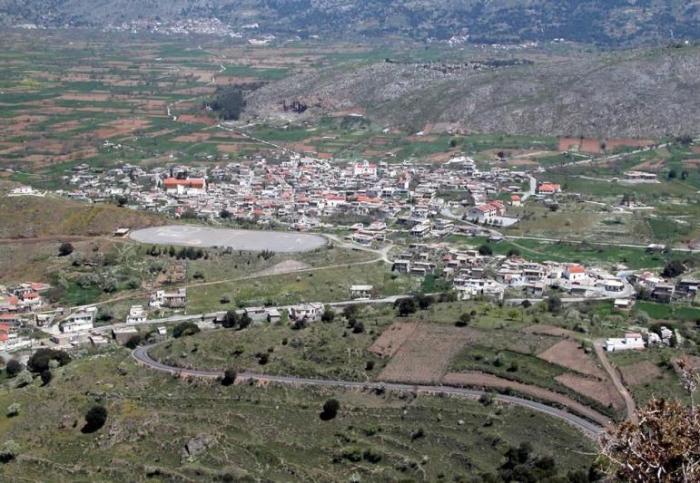
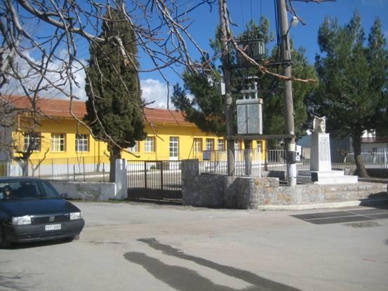
Agios Georgios is a village in the Lassithi Plateau in the island of Crete, and also a municipal unit. Agios Georgios lies at an altitude of 840 metres (2,760 ft). In 1981 its population was 1,030, but has steadily fallen since to 717 in 1991; 541 in 2001, and 490 in 2011. Locations near Agios Georgios include the small village of Koudoumalia and the village of Avrakode and also Limnakaro Plateau (height 1,314 metres (4,311 ft)). It is the second largest village in Lassithi Plateau, home of a Folklore Museum, the only elementary school in Lassithi Plateau and also the only kindergarten in the Municipality. It also has a small historical museum pharmacy, hotels and small restaurants.
It is a starting point for an ascent of the Dikti (height 2,148 metres (7,047 ft)), and the E4 trail goes through the village. Many people with ancestry from the village of Agios Georgios live now in Heraklion and in Hersonissos. In wintertime, when the Lasithi Plateau is snow covered, many of the villagers in Agios Georgios would have descended to occupy the settlement of Analipsi on the northern coast of Crete, 5 km west of Hersonisssos and part of the Hersonissos Municipality where they cultivated olives.
It is a starting point for an ascent of the Dikti (height 2,148 metres (7,047 ft)), and the E4 trail goes through the village. Many people with ancestry from the village of Agios Georgios live now in Heraklion and in Hersonissos. In wintertime, when the Lasithi Plateau is snow covered, many of the villagers in Agios Georgios would have descended to occupy the settlement of Analipsi on the northern coast of Crete, 5 km west of Hersonisssos and part of the Hersonissos Municipality where they cultivated olives.
Wikipedia article: http://en.wikipedia.org/wiki/Agios_Georgios,_Lasithi
Nearby cities:
Coordinates: 35°10'1"N 25°29'3"E
- Afandou 272 km
- Laurium (Lavrio) 313 km
- Palaia Fokea 319 km
- Municipality of Vòlos 522 km
- Al-Zahra 922 km
- Bani Suheila 924 km
- Dörtyol 982 km
- Reyhanlı (al-Rayhaniyyah) 1006 km
- ِAl Aghwar 1009 km
- Al-Qaser 1032 km
- Lasithi Plateau 1.4 km
- Limnakaro Plateau 2.7 km
- Lasithi Mountains 5 km
- Omalos Plateau 11 km
- Emparos 12 km
- Pefkalidia 15 km
- Levadia 15 km
- Peripheral unit of Heraklion 32 km
- Peripheral unit of Lasithi 34 km
- Crete 54 km