Mokotów (Warsaw)
Poland /
Mazowieckie /
Warsaw
World
/ Poland
/ Mazowieckie
/ Warsaw
World / Poland / Masovian
neighbourhood, draw only border
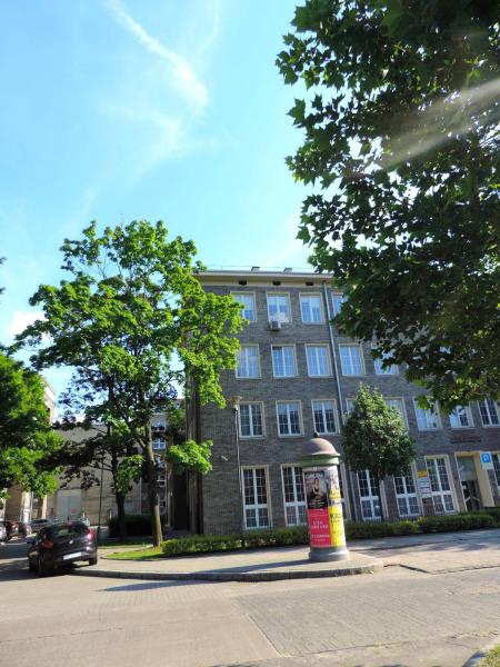


District in Warsaw. Was incorporated into Warsaw in 1916. The name of the area comes probably from the name of an earlier village Mon Coteau (French for My Hill), which is an echo of the village name Mokotowo (known from 14th century).
Wikipedia article: http://en.wikipedia.org/wiki/Mokotów
Nearby cities:
Coordinates: 52°11'30"N 21°2'35"E
- Stegny neighborhood 1 km
- Sielce 2.6 km
- Czerniaków 2.8 km
- Grochów Neighborhood 7.6 km
- South Praga 7.7 km
- Ochota 8.1 km
- Śródmieście 8.7 km
- Włochy 11 km
- North Praga 12 km
- Wola 12 km
- Fort "Legionów", "Dąbrowskiego", "Czerniaków" 0.4 km
- Allotment Gardens 0.4 km
- Open air ice skate ring Stegny 0.6 km
- Sielce 0.9 km
- Bobrowiecka Street, 9 1 km
- Królikarnia Park and Palace 1.1 km
- Skwer Małkowskich 1.3 km
- Stegny neighborhood 1.3 km
- Czerniaków 1.7 km
- Stary Mokotów 2.5 km