Narrows (Lancaster)
| strait / channel / passage / narrows
United Kingdom /
England /
Bolton-le-Sands /
Lancaster /
Lancaster Canal Towpath
World
/ United Kingdom
/ England
/ Bolton-le-Sands
strait / channel / passage / narrows
Add category
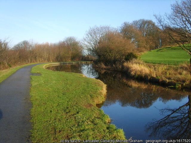
Probably for stop boards to protect the water in the canal to the south in case of a breach at one of the aqueducts just to the north.
Photo: www.geograph.org.uk/photo/1617520
Photo: www.geograph.org.uk/photo/1617520
Wikipedia article: https://en.wikipedia.org/wiki/Canal_Safety_Gates
Nearby cities:
Coordinates: 54°3'53"N 2°47'9"W
- Menai Strait 138 km
- The Solent 369 km
- North Channel / Straits of Moyle 377 km
- English Channel 381 km
- Pertuis Breton Strait 865 km
- Suðuroyarfjørður 885 km
- Skopunafjørður 913 km
- Vestmannasund 940 km
- Sundini 954 km
- Djupini 956 km
- Lancaster University 6.2 km
- Kellet Quarries 6.3 km
- Caton Moor Wind Farm 8.4 km
- Pine Lake Resort, Lancaster 9 km
- Grizedale Forest 11 km
- Leighton Moss 11 km
- Morecambe Bay 14 km
- Central point of Great Britain 17 km
- Bentham Golf Club 20 km
- Yorkshire Dales National Park 44 km