Ibura (Recife)
Brazil /
Pernambuco /
Recife
World
/ Brazil
/ Pernambuco
/ Recife
World / Brazil / Pernambuco / Recife
neighbourhood, invisible
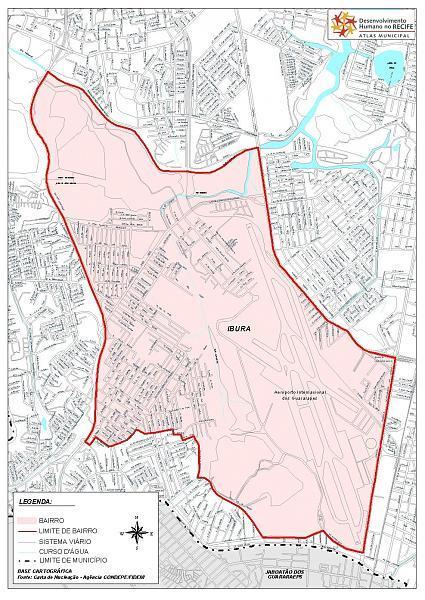


Ibura is the second greater neighborhood of Recife, Pernambuco, Brazil. In this place where today is Ibura, there was the Ibura Engenho, in early XIX century. The name of this neighborhood comes from the tupi (language of native indians) that means "breaking water". According to the last research, the Ibura's neigborhood is 1005.7 ha long with 43,681 people.
Nearby cities:
Coordinates: 8°7'6"S 34°55'56"W
- Piedade 3 km
- Curado(Recife) 9 km
- Bairro do Recife 11 km
- Barra de Jangada 11 km
- Iputinga 11 km
- Nova Descoberta 14 km
- Rio Doce 20 km
- Cristo Redentor 109 km
- Bancários 110 km
- cades 121 km
- Residencial Vale dos Rios I 0.4 km
- Apolonio Sales School 1 km
- SUDENE Village 1.1 km
- Gilberto Freyre / Guararapes International Airport - Recife 1.1 km
- Conjunto Recidencial Marechal Costa e Silva 1.4 km
- Sargent Soccer Field (IPSEP) 1.6 km
- Churrascaria Sal e Brasa 1.6 km
- Club of Aeronautics Cables and Soldiers 1.6 km
- Conjunto Residencial Governador Agamenon Magalhães 1.7 km
- Tancredo Neves Overpass 2.3 km
Residencial Vale dos Rios I
Apolonio Sales School
SUDENE Village
Gilberto Freyre / Guararapes International Airport - Recife
Conjunto Recidencial Marechal Costa e Silva
Sargent Soccer Field (IPSEP)
Churrascaria Sal e Brasa
Club of Aeronautics Cables and Soldiers
Conjunto Residencial Governador Agamenon Magalhães
Tancredo Neves Overpass