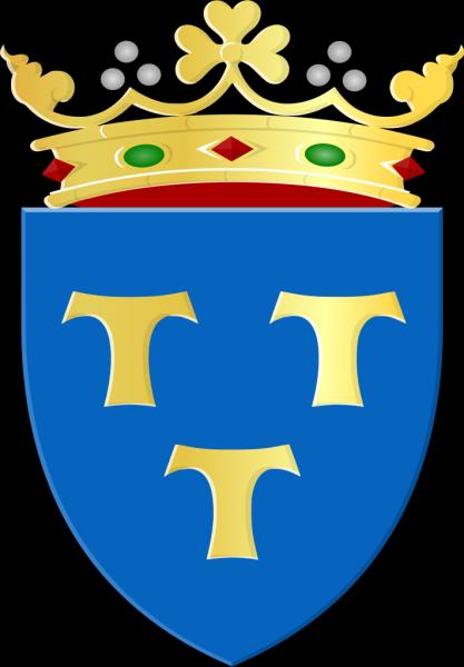
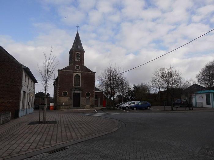
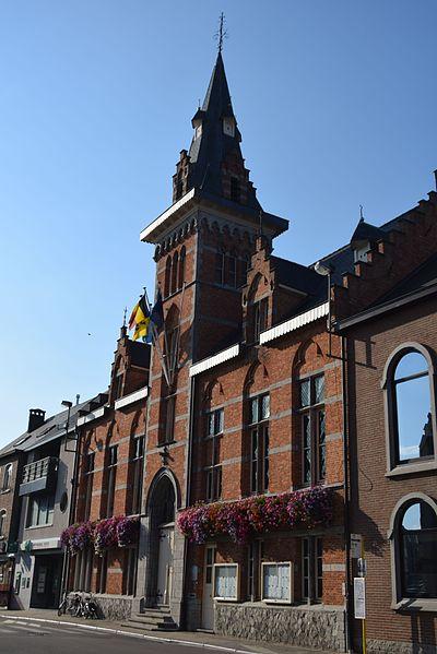
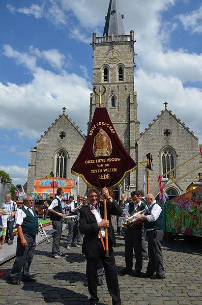
Lede (municipality) (Impe)
Belgium /
Ost-Flandern /
Lede /
Impe
World
/ Belgium
/ Ost-Flandern
/ Lede
municipality, draw only border


Lede (Dutch pronunciation: [ˈleːdə]) is a municipality in the Belgian province of East Flanders, in the Denderstreek near the cities of Gent, Aalst and Dendermonde.
In 2011, Lede had a population of 17,882 and area of 29.69 km², a population density of 575 inhabitants per km².
In 2011, Lede had a population of 17,882 and area of 29.69 km², a population density of 575 inhabitants per km².
Wikipedia article: https://en.wikipedia.org/wiki/Lede,_Belgium
Nearby cities:
Coordinates: 50°58'2"N 3°56'45"E
- Ninove (municipality) 11 km
- Zottegem (Municipality) 15 km
- Brakel (municipality) 22 km
- Lokeren (Municipality) 22 km
- Lochristi (Municipality) 23 km
- Temse (Municipality) 26 km
- Sint-Niklaas (Municipality) 27 km
- Ghent 28 km
- Oudenaarde (municipality) 29 km
- Evergem (municipality) 34 km
Array