Vrijthof (Maastricht)
Netherlands /
Limburg /
Maastricht
World
/ Netherlands
/ Limburg
/ Maastricht
World / Netherlands / Limburg
downtown / central business district, historic town square

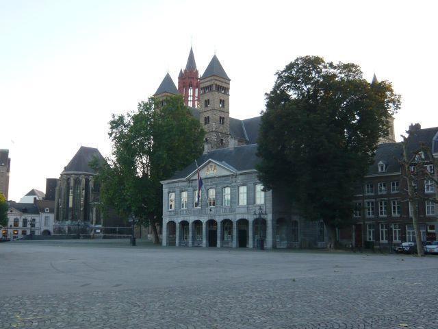
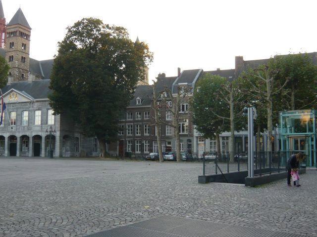
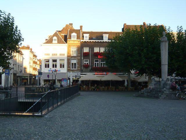
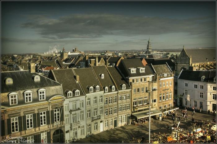

A large square with cobblestones, trees and cafes.
This is the largest square in town. Many busy streets end up there from the pedestrian area. This vast esplanade, lined with cafés and restaurants with pleasant terraces, is dominated by two churches: the St.-Servaaskerk and the St.-Janskerk. (source: viamichelin.com)
This is the largest square in town. Many busy streets end up there from the pedestrian area. This vast esplanade, lined with cafés and restaurants with pleasant terraces, is dominated by two churches: the St.-Servaaskerk and the St.-Janskerk. (source: viamichelin.com)
Nearby cities:
Coordinates: 50°50'56"N 5°41'18"E
- Markt 0.3 km
- Grote Markt 74 km
- Market Place 85 km
- Grote markt 114 km
- Grand Place 130 km
- Kouter 140 km
- The Brink 160 km
- Buitenhof 167 km
- Plein 167 km
- Grote Markt 177 km
- The High Fronts 0.8 km
- Former landfill 2.5 km
- Golfclub Maastricht 3 km
- Sappi Lanaken 4.9 km
- Lanaken (municipality) 5.3 km
- Hochterbampd nature reserve 6 km
- Eijsden-Margraten 7.7 km
- Meersen (municipality) 7.9 km
- Hoge kempen National Park 13 km
- Limburg 49 km