former herrnsheim community park
Germany /
Rheinland-Pfalz /
Osthofen /
World
/ Germany
/ Rheinland-Pfalz
/ Osthofen
military, place with historical importance
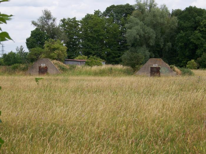
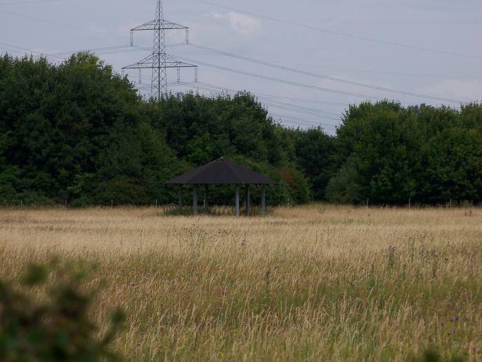
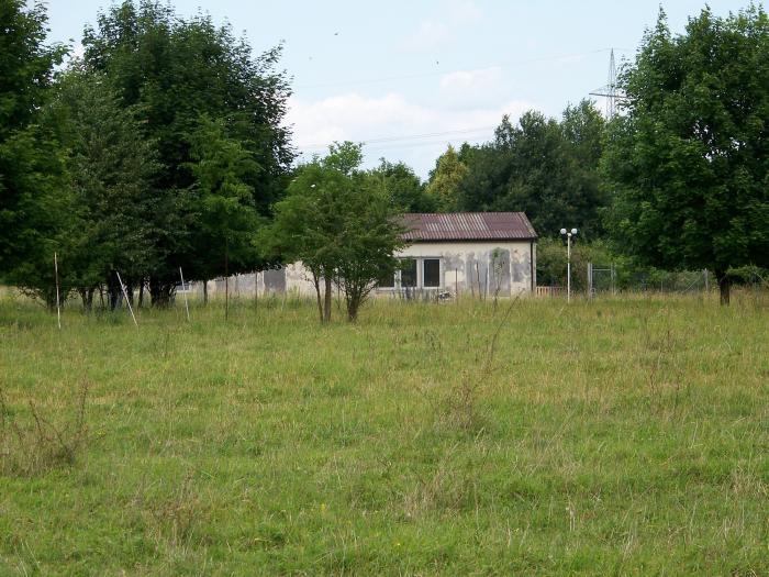
us army
Nearby cities:
Coordinates: 49°40'28"N 8°19'12"E
- Jewish Cemetery "Heiliger Sand" 5.5 km
- Grunstadt Site III "Hacksaw" 19 km
- 611 TCF USAF tactical control flight 23 km
- former labour camp haide 25 km
- former us storage point 30 km
- Former Kriegsfeld Army Depot-NATO Site Number 107 (North Point) 30 km
- Old 622 TCF Radar Site 36 km
- Site I "Chargirl" / Mehlingen Site I launch pads 41 km
- Former Home of 5th Quartermaster Company 43 km
- Former Quartermaster Kaserne 44 km
- former site of a Level Crossing - worst railway accident from Worms 1.5 km
- Saint Michael Chapel 2.4 km
- Disused Railwaystation "Abenheim" 2.6 km
- Saint Boniface Church 2.6 km
- Coswig a Suburban of Rheindürkheim 2.6 km
- Siren 2.7 km
- Playing field - FSV Abenheim 2.7 km
- site of Rheindürkheim Coal-Powerstation 3.1 km
- Judischer Friehof 4.1 km
- Upper Rhine Graben 102 km