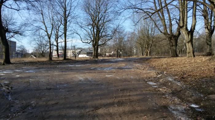
Juglas Street, 13 (Riga)
Latvia /
Riga /
Riga
World
/ Latvia
/ Riga
/ Riga
historical layer / disappeared object
Add category
Nearby cities:
Coordinates: 56°59'12"N 24°14'44"E
- Gardening Rīga 3.7 km
- Former Soviet Army communication regiment 5.7 km
- Railway Station Rīga-Krasta 9 km
- Sand pile 10 km
- Concetration Camp (a.k.a Slokas 60) 11 km
- Former Riga's Agricultural Mehanization Factory 11 km
- Remains of former railway 14 km
- Former soviet SAM battery site S-300P 17 km
- Rockets' lounching pad/ position 17 km
- Former soviet armed forces refueling base. 22 km
- Jugla 0.2 km
- Jugla Interchange 0.4 km
- Village of the blind 0.5 km
- Jugla railway station 0.9 km
- Rīgas Manufaktūra 0.9 km
- Former factory Rīgas Audums 1 km
- Šmerļa forest 1.4 km
- Jugla lake 2.1 km
- Berģi 2.4 km
- Garkalne municipality 8.5 km