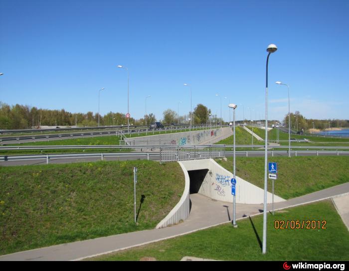
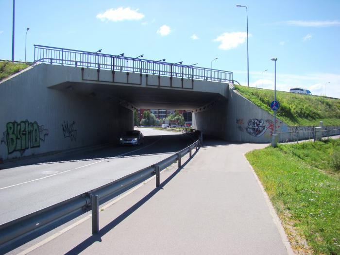
Jugla Interchange (Riga)
Latvia /
Riga /
Riga
World
/ Latvia
/ Riga
/ Riga
World / Latvia / Riga
invisible, highway interchange / exit


Nearby cities:
Coordinates: 56°59'26"N 24°14'49"E
- A118 Ring Road and M11 highway (Tallinskoye shosse) interchange 465 km
- M20 highway (Kiyevskoye shosse) and Volkhonskoye motorroad interchange 468 km
- A118 Ring Road, Western Rapid Diameter, Dachny avenue and Predportovaya street interchange 472 km
- A118 Ring Road and M20 highway (Pulkovskoye shosse) interchange 473 km
- A118 Ring Road and Sofiyskaya street interchange 479 km
- WRS, A118 Ring Road and Konnolakhtinskaya road interchange (UC) 483 km
- Reconstructed traffic intersection "Sokol" of the project "Big Leningradka" 825 km
- Sofrino junction 844 km
- Sergiyev Posad junction 850 km
- Pogranichnaya junction 862 km
- Park 0.3 km
- Jugla 0.6 km
- Village of the blind 0.7 km
- Former factory Rīgas Audums 0.7 km
- Jugla railway station 0.7 km
- Rīgas Manufaktūra 0.9 km
- Šmerļa forest 1.7 km
- Jugla lake 2.3 km
- Berģi 2.4 km
- Garkalne municipality 8.2 km