Navigation Pass S-2 (Saint Petersburg)
Russia /
Sankt Petersburg /
Kronshtadt /
Saint Petersburg
World
/ Russia
/ Sankt Petersburg
/ Kronshtadt
, 8 km from center (Кронштадт)
World / Russia / Leningrad
lock (water navigation), draw only border


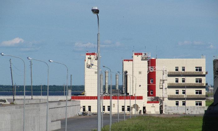
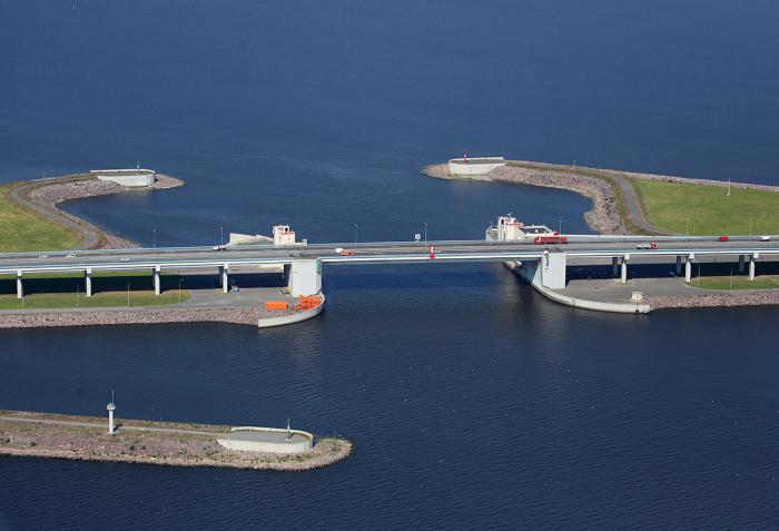
Navigation Pass S-2 of the St.Petersburg Dam.
Wikipedia article: http://en.wikipedia.org/wiki/Saint_Petersburg_Dam
Nearby cities:
Coordinates: 60°1'33"N 29°50'0"E
- Vostochny Kronshtadtsky anchorage 5.7 km
- Maly Kronshtadtsky anchorage 6.7 km
- Tunnel under S1 floodgate 8.5 km
- "Start" sports camp 8.6 km
- Navigation Pass S-1 8.8 km
- Bolshoy Kronshtadtsky anchorage 8.9 km
- Kotlin Island 11 km
- Martyshkino 13 km
- The ensemble of the Great Palace 13 km
- Dubki 17 km
- Bridge over the floodgate S2
- Dam D8 0.8 km
- 4th Northern (Zverev) fort 0.9 km
- Dam D7 1.4 km
- St.Petersburg Dam - North section 2.4 km
- Dam D9 2.9 km
- Kronstadt 4.8 km
- Kurortny District 11 km
- Neva Bay 11 km
- Water area of the Gulf of Finland northwest of Kotlin Island 14 km