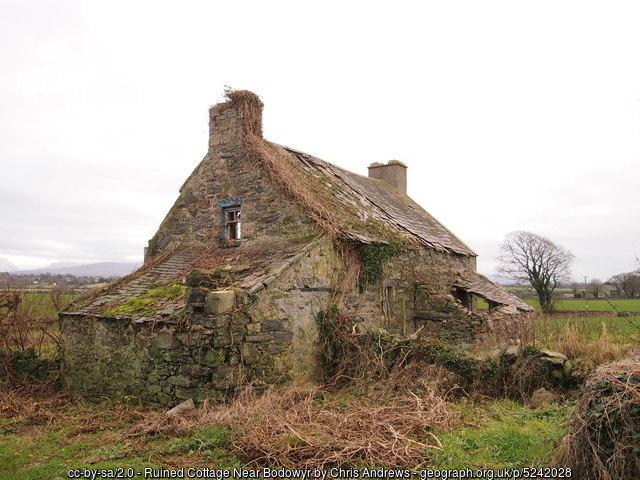
Bodrida Bach
United Kingdom /
Wales /
Caernarfon /
World
/ United Kingdom
/ Wales
/ Caernarfon
ruins, cottage
Name reference: maps.nls.uk/geo/explore/sidebyside.cfm#zoom=17&lat=53.1...
Photo: www.geograph.org.uk/photo/5242028
Photo: www.geograph.org.uk/photo/5242028
Nearby cities:
Coordinates: 53°11'14"N 4°17'58"W
- Y Stabl 20 km
- Pilot's Cottage No 2 22 km
- Portmeirion Village and Peninsula 33 km
- 1 Dairy Square 97 km
- Kinton Tithe and Tithe Barn 103 km
- 8-9 Church Road 106 km
- Robley Bank 111 km
- Brickhouse Farm Cottages 113 km
- Partridge Farmhouse and Partridge Farm Cottage 117 km
- Seadyke Cottage 119 km
- Menai Strait 4.4 km
- Newborough Warren 6.2 km
- Newborough Forest 6.5 km
- The Mouth of the River Cefni 7.7 km
- Trewalchmai 10 km
- Bodffordd 12 km
- RAF Valley / Anglesey Airport 17 km
- Llanddeussant 20 km
- Holy Island 24 km
- Parc Cenedlaethol Eryri (Snowdonia National Park) 42 km