Bo Kaap / Malay Quarter (Cape Town)
| region
South Africa /
Western Cape /
Cape Town
World
/ South Africa
/ Western Cape
/ Cape Town
World / South Africa / Western Cape
region
Add category
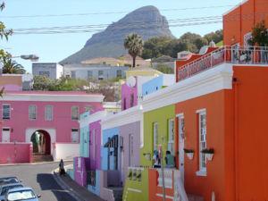
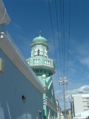
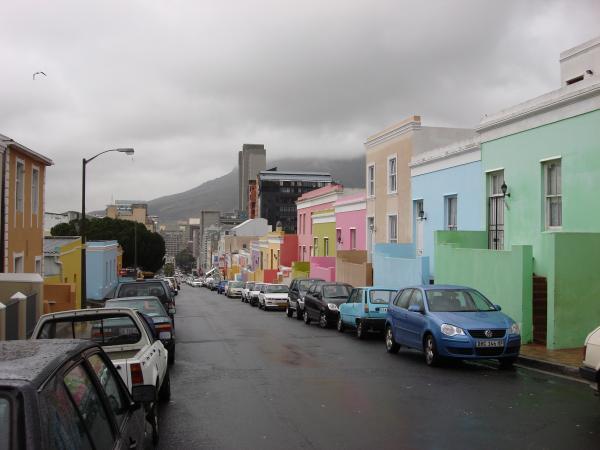
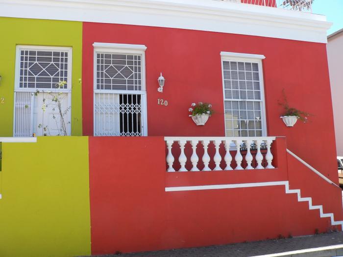
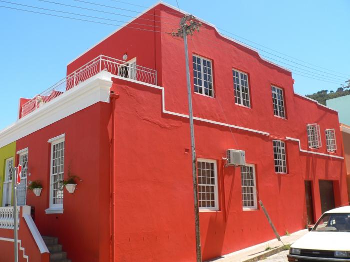
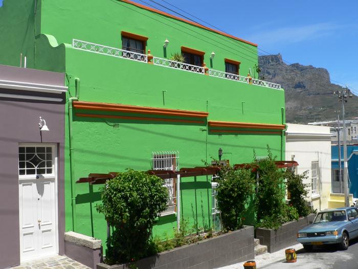
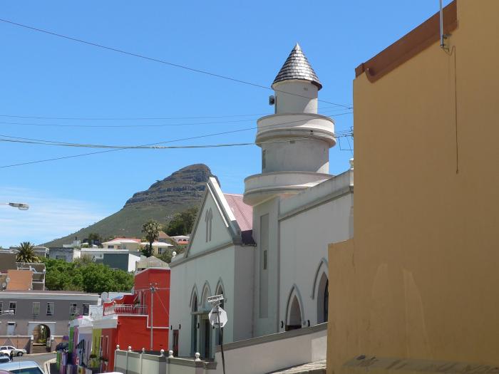
The Malay Quarter derives its name from the Cape Malays, an ethnic group local to the region that was classifed as "coloureds" under apartheid law. These descendents of Malays, Dutch settlers, and Khoi bushmen, number about 200,000 mostly in the Cape area. The community is split into Christian and Muslim coloureds and Bo Kaap is a Muslim neighbourhood. Today it is known as Bo-Kaap and famous for its brightly painted homes and many mosques.
Wikipedia article: http://en.wikipedia.org/wiki/Bo-Kaap
Nearby cities:
Coordinates: 33°55'16"S 18°24'51"E
- Kruger Park - Far South Section (Work in Progress) 1576 km
- Ulusaba, Inyati, Leopard Hills Game Reserves 1615 km
- Singita Game Reserve 1620 km
- Sandringham Nature Reserve 1620 km
- Londolozi Game Reserve 1623 km
- Mala Mala Game Reserve 1628 km
- Cabinda Province 3358 km
- Miwani Sugar Belt 4144 km
- Muhoroni Sugar Belt 4149 km
- Chemelil Sugar Belt 4156 km
- Cape Town City Centre 0.9 km
- Gardens 1.6 km
- Green Point 1.6 km
- Victoria & Alfred Waterfront 1.9 km
- Zonnebloem 2 km
- Duncan Dock 2.2 km
- Foreshore 3.1 km
- Woodstock 3.6 km
- Salt River 4.9 km
- Table Bay 7.9 km