Geodetic point
Macedonia /
Prilep /
B 1
World
/ Macedonia
/ Prilep
/ Prilep
, 11 km from center (Прилеп)
geodetic point
Add category
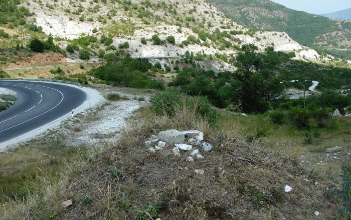
Geodetic point near Pletvar.
Nearby cities:
Coordinates: 41°21'56"N 21°39'27"E
- Height - 972 m 7.1 km
- Peak Kara Tash - 638 m 52 km
- Height - 136 m 66 km
- Landesamt für Geoinformatiom und Landentwicklung Baden-Württemberg 1280 km
- 18N 53E 1324 km
- Waypoint FWE or FWE GM 1355 km
- Dueodde 1593 km
- Geographic center of the Netherlands 1722 km
- Lowest point of the Netherlands 1749 km
- Blåvandshuk 1865 km
- Manastirishte 4.1 km
- Dren 8.1 km
- Babuna 12 km
- Municipality of Prilep 12 km
- Selechka Mt. 30 km
- Mariovo 30 km
- Kozjak Mt. 31 km
- Pelagonia 32 km
- Municipality of Kavadarci 33 km
- Tikvesh 33 km